Shandong Fengtu IOT Technology Co., Ltd
Sales Manager:Ms. Emily Wang
Cel,Whatsapp,Wechat:+86 15898932201
Email:info@fengtutec.com
Add:No. 155 Optoelectronic Industry Accelerator, Gaoxin District, Weifang, Shandong, China


Sales Manager:Ms. Emily Wang
Cel,Whatsapp,Wechat:+86 15898932201
Email:info@fengtutec.com
Add:No. 155 Optoelectronic Industry Accelerator, Gaoxin District, Weifang, Shandong, China
time:2025-03-07 09:26:53 source:Weather Station viewed:634 time
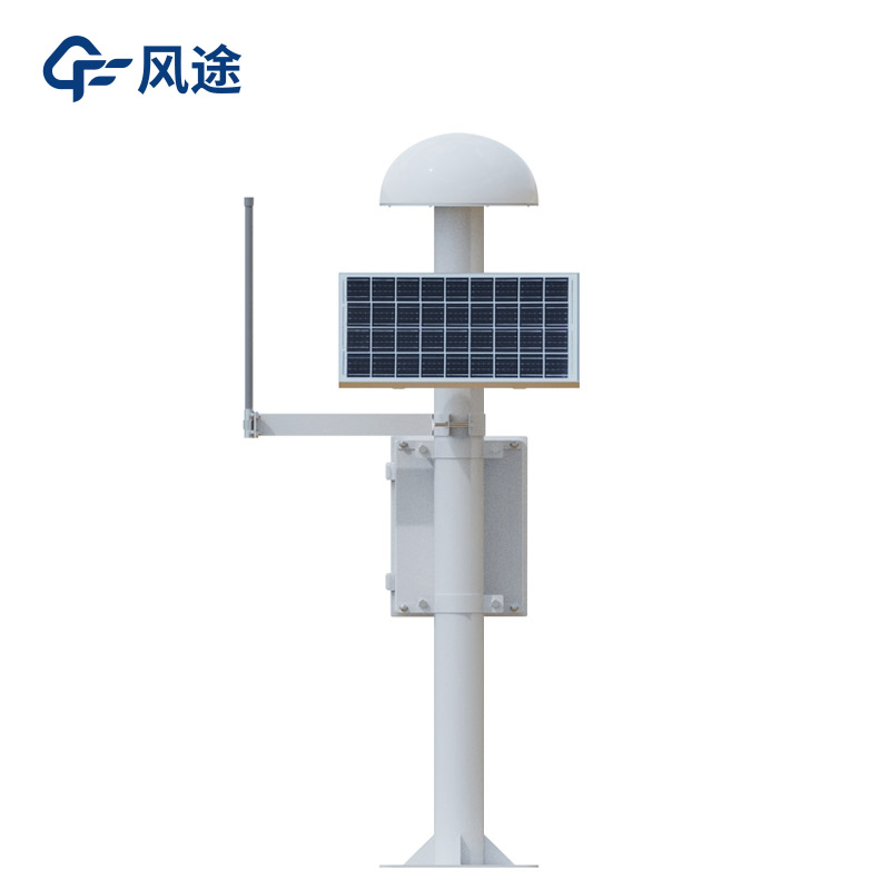
In the era of rapid technological development today, GNSS high - precision positioning technology has become an essential key support in many fields. It can achieve millimeter - level accuracy. What is the technical principle behind this?
GNSS monitoring stations include the US GPS, China's BeiDou, Russia's GLONASS, etc. The equipment receives signals from multiple navigation satellites through antennas. These signals carry key information such as time and orbital parameters, laying a data foundation for high - precision positioning. Among this information, the carrier - phase differential technique plays a core role. The reference station and the rover station simultaneously receive satellite carrier signals and use the carrier - phase differences to improve accuracy. Since the carrier wavelength is short, accurate calculation of the phase difference can achieve centimeter - level or even millimeter - level positioning. After the reference station calculates the error with the rover station, it transmits the differential data to the rover station, and the rover station corrects the positioning result in real - time.
In addition to the differential technique, high - precision positioning algorithms are also an important part. Real - Time Kinematic (RTK) technology improves accuracy by calculating the relative position differences between the reference station and the rover station; Precise Point Positioning (PPP) relies on accurate modeling and estimation of satellite orbit, clock error and other parameters to achieve high - precision positioning of a single receiver. Moreover, the GNSS receiver transmits the positioning data to the data processing unit for real - time processing and analysis. By comparing the position data at different time points, the displacement and other values are accurately calculated, further improving the accuracy.
In the field of geological disaster monitoring, GNSS monitoring stations can monitor the occurrence and development of disasters such as landslides, ground collapses, and slope displacements in real - time, issue early warnings and take corresponding preventive and disaster - reduction measures. This provides a strong basis for disaster warning and prevention, safeguarding our lives and property.
I. PrefaceAs the “oxygen provider” of modern cities, the subway not only drives the urban economic development but also leads the transformation of the way people live. However, in recent years, subway accidents have occurred frequently, and the number of casualties has been on the rise, reflectin...
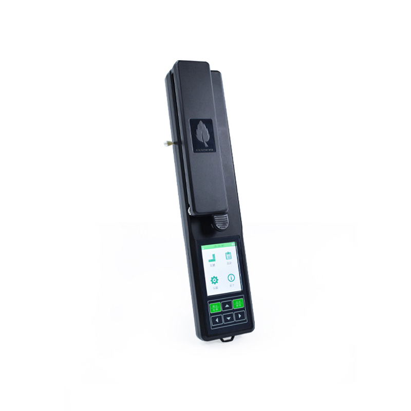
Soil detection systems include a variety of equipment and technologies used to analyze and assess soil quality, detecting various parameters of the soil, such as nutrient content, moisture, pH value, organic matter, etc. Here are some common soil detection systems:Soil moisture monitor: Used for in-...
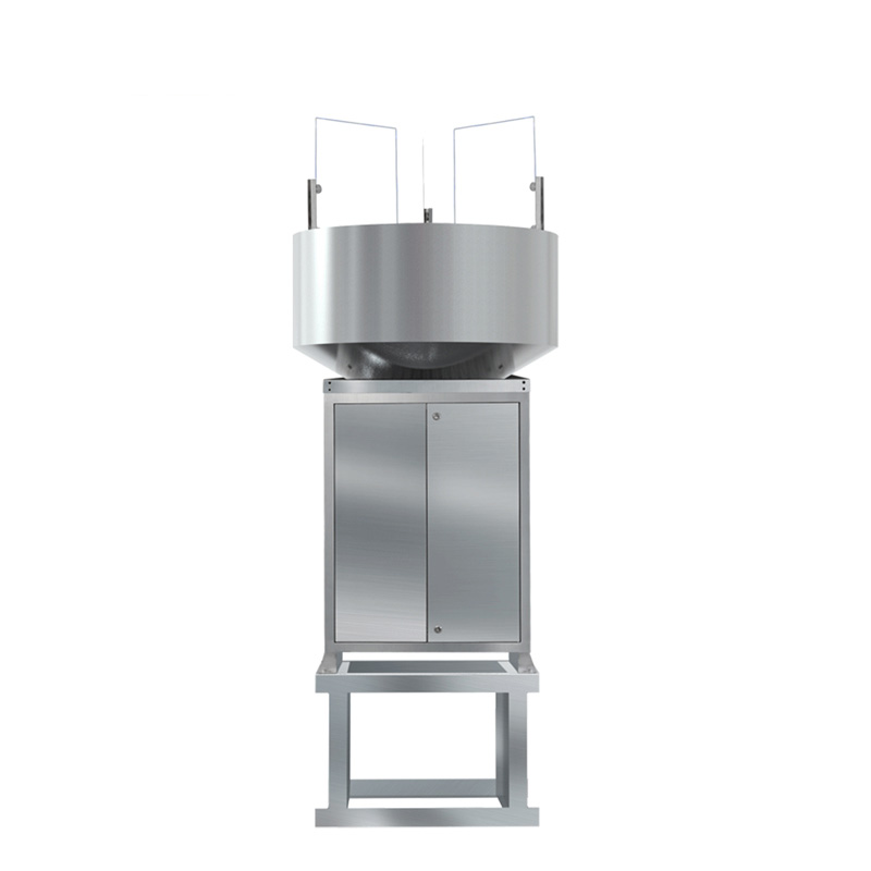
In today's agricultural production, moisture monitoring system is playing an increasingly important role. Like a guardian, it keeps an eye on the condition of the soil and provides farmers with timely and accurate information to help them rationally utilize water resources and improve the yield...
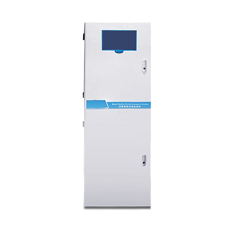
In the solar photovoltaic industry, IV curve testing is a critical technical method for evaluating the electrical performance of photovoltaic (PV) modules and module strings. This test involves simulating different light intensities and temperature environments to systematically measure the current-...


 Skype
Skype
 whatsapp
 mail
mail