Shandong Fengtu IOT Technology Co., Ltd
Sales Manager:Ms. Emily Wang
Cel,Whatsapp,Wechat:+86 15898932201
Email:info@fengtutec.com
Add:No. 155 Optoelectronic Industry Accelerator, Gaoxin District, Weifang, Shandong, China


Sales Manager:Ms. Emily Wang
Cel,Whatsapp,Wechat:+86 15898932201
Email:info@fengtutec.com
Add:No. 155 Optoelectronic Industry Accelerator, Gaoxin District, Weifang, Shandong, China
time:2024-11-22 09:40:21 source:Weather Station viewed:736 time
Measuring water surface velocity is of crucial importance in the fields of water conservancy and hydrology. In flood control work, accurate water surface velocity data helps to precisely predict the flood path, flood peak intensity and arrival time, ensuring the safety of the lives and property of residents along the river and buying precious time for flood fighting and rescue. In the construction of water conservancy projects, the design and construction of dams, waterways and other projects rely on this key parameter of water surface velocity, which is related to the stability and rationality of the projects. When it comes to water resource management and allocation, mastering the water surface velocity of different river sections and different periods can make water resource distribution more scientific and efficient.
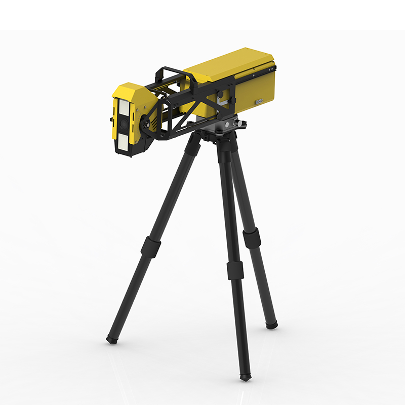
The Radar Flow Meter FT - ML3 provides a solution for velocity measurement. It can monitor the open channel water flow throughout the process without being affected by various factors such as temperature and humidity, and is suitable for open channel channels such as irrigation areas and river channels.
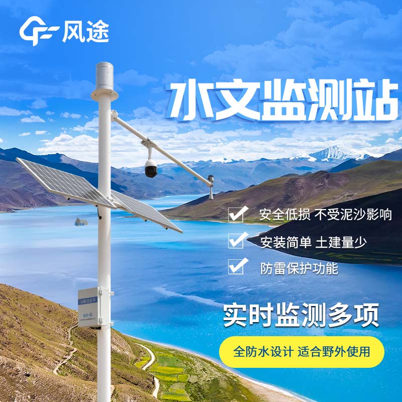
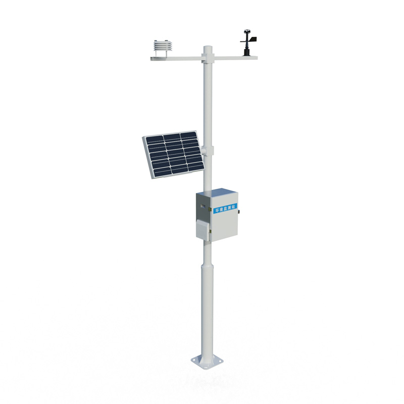
This system consists of a three - in - one radar water level, surface velocity and flow, a telemetry terminal unit RTU, a solar power supply system, a pole and bracket and lightning protection grounding. Its core component is based on pulsed radar technology. At a regular cross - section, the flow is calculated according to mathematical and geometric principles by combining the measured velocity and water level.
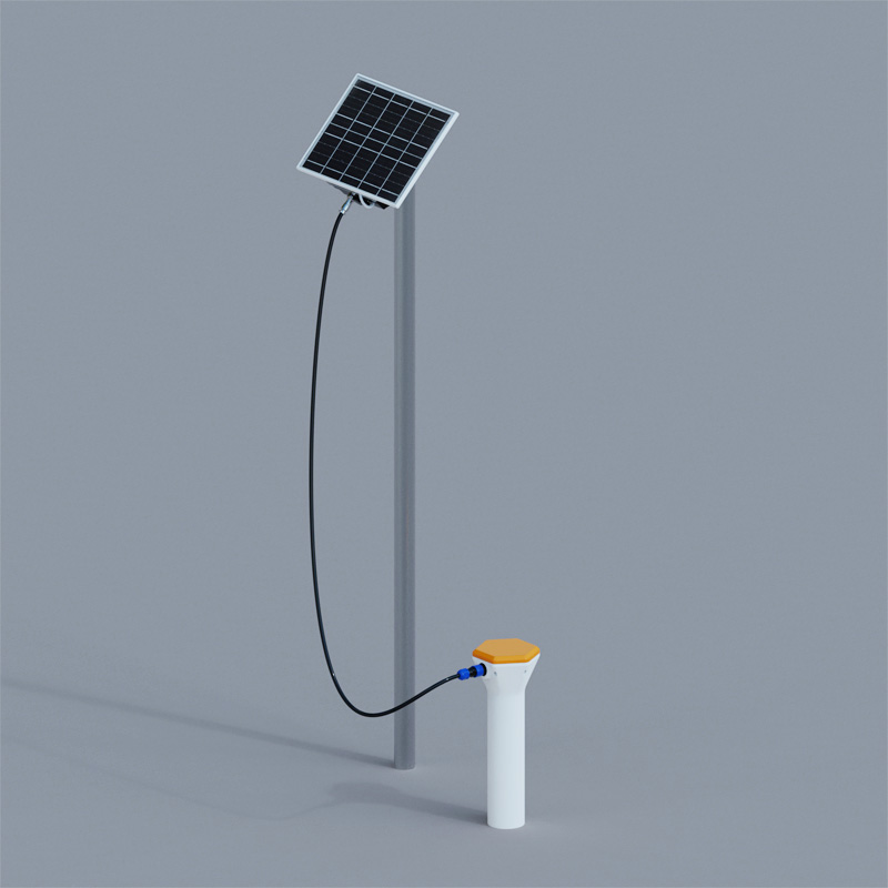
Non - contact flow measurement is its outstanding advantage. It can be installed with water, without being blocked by water flow or ponding, and is not affected by debris, floating objects, water quality and sediment. It has a particularly good effect on channels with fast velocity and large flow. However, it also has limitations. Wind speed, slow velocity, sandstorms and heavy rainfall weather will cause measurement errors.
The range of water level measurement of this system is 0.4 - 40 meters, with an accuracy of ± 1cm and a resolution of 1mm; the velocity measurement range is 0.15 - 15m/s, with an accuracy of ± 2% and a resolution of 0.01m/s. Despite the interference factors, it can still provide key data support for water conservancy projects and water resource allocation and is a powerful assistant for open channel flow monitoring.
In the practice of agricultural IoT, soil moisture monitoring has become a core application. Through this technology, we are able to accurately obtain the growth reality of crops, providing key data support for subsequent intelligent decision-making. Based on the real-time monitoring of soil moistur...
The wind speed and anemometer calibration platform is a systematic equipment for testing the accuracy of wind speed and anemometer, which can calibrate the measurement data of wind speed and anemometer to ensure the accuracy and stability of wind speed and anemometer.Anemometers are usually used in...
The river water level monitoring system is a fully automated, online hydrological monitoring device based on microwave radar technology. It employs K-band planar radar to measure water levels without physical contact, remaining unaffected by temperature, sediment, pollutants, or floating debri...
The COD Analyzer is an instrument used to monitor the Chemical Oxygen Demand (COD) in water bodies. It plays an extremely important role in fields such as environmental protection, water resource management, and industrial wastewater treatment. COD is a key indicator for measuring reducing substance...


 Skype
Skype
 whatsapp
 mail
mail