Shandong Fengtu IOT Technology Co., Ltd
Sales Manager:Ms. Emily Wang
Cel,Whatsapp,Wechat:+86 15898932201
Email:info@fengtutec.com
Add:No. 155 Optoelectronic Industry Accelerator, Gaoxin District, Weifang, Shandong, China


Sales Manager:Ms. Emily Wang
Cel,Whatsapp,Wechat:+86 15898932201
Email:info@fengtutec.com
Add:No. 155 Optoelectronic Industry Accelerator, Gaoxin District, Weifang, Shandong, China
time:2024-11-26 09:39:31 source:Weather Station viewed:709 time
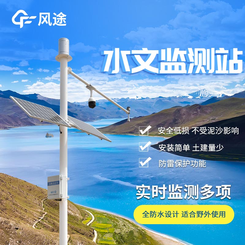
The Radar Water Level Monitoring Station mainly uses radar waves to measure the water level height, and its principle is as follows:
The Radar Water Level Monitoring Station is equipped with a radar sensor, which emits high-frequency radar waves (usually in the microwave frequency band) towards the water surface. These radar waves travel at the speed of light and will be reflected when they encounter a target object such as the water surface.
Just as light reflects when it shines on a mirror, radar waves also reflect back when they encounter the "mirror" of the water surface. For example, in a calm lake, when radar waves are vertically emitted to the water surface, there will be a relatively regular reflection.
The monitoring station records the time when the radar waves are emitted and the time when the reflected waves are received. Since the propagation speed of radar waves is known (approximately the speed of light c = 3×10⁸m/s in the air), according to the formula \(d = c\times t/2\) (where d is the distance and t is the round-trip time), the distance from the sensor to the water surface can be calculated.
For example, if the round-trip time of the radar waves is \(t = 2×10^{-6}s\), then the calculated distance \(d=(3×10⁸m/s×2×10^{-6}s)/2 = 300m\). The division by 2 is because the calculated distance is a one-way distance (from the sensor to the water surface), while the measured time is the round-trip time.
After knowing the distance from the sensor to the water surface, combined with the installation height of the sensor (this height is pre-measured and set), the water level height can be calculated.
For example, if the installation height of the sensor is \(H = 5m\) and the calculated distance from the sensor to the water surface is \(d = 3m\), then the water level height \(h = H - d = 5m - 3m = 2m\).
This non-contact measurement method has many advantages. For example, it is not directly affected by factors such as water quality and water flow speed. It can accurately monitor the change of water level in real time and can continuously work under harsh environmental conditions. It is widely used in water level monitoring of rivers, lakes, reservoirs and other water areas.
weight sensor for water level monitors and records the water level, which is a device that measures the level in a fixed container that is too high or too low....
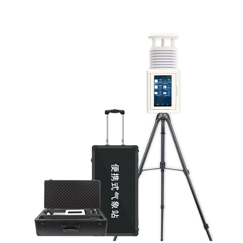
A meteorological and environmental monitoring system is an integrated system of equipment and software for monitoring and recording changes in atmospheric and environmental parameters. It monitors and records data on meteorological elements, environmental pollutants, etc. in real time for meteorolog...
The integrated rainfall monitoring station is a new type of equipment for real-time monitoring and analysis of precipitation in the region. The equipment adopts different types of rain sensors to automatically collect rainfall data and transmit them to the monitoring center through the network. As a...
When it comes to the advantages of water quality sensors, they can be summarized in six words: real - time, continuous, and automatic.Since the sensors can be directly deployed in water bodies (such as rivers, sewage treatment plants, water supply pipe networks, etc.), they collect water quality par...


 Skype
Skype
 whatsapp
 mail
mail