Shandong Fengtu IOT Technology Co., Ltd
Sales Manager:Ms. Emily Wang
Cel,Whatsapp,Wechat:+86 15898932201
Email:info@fengtutec.com
Add:No. 155 Optoelectronic Industry Accelerator, Gaoxin District, Weifang, Shandong, China


Sales Manager:Ms. Emily Wang
Cel,Whatsapp,Wechat:+86 15898932201
Email:info@fengtutec.com
Add:No. 155 Optoelectronic Industry Accelerator, Gaoxin District, Weifang, Shandong, China
time:2025-04-30 09:14:41 source:Weather Station viewed:849 time
The measurement of rainfall and water level can provide early warnings of floods, thus buying time for the evacuation of people and materials. In terms of water resource management, it serves as a basis for the rational allocation of water resources, ensuring the water demands of various fields are met. During the operation of water conservancy projects, it can monitor the safety status of the projects, enabling the timely detection and resolution of problems. In the agricultural sector, it facilitates precise irrigation, improves the efficiency of water resource utilization, and prevents soil salinization. In environmental monitoring, it is also an important basis for evaluating water body pollution and studying changes in the ecosystem.
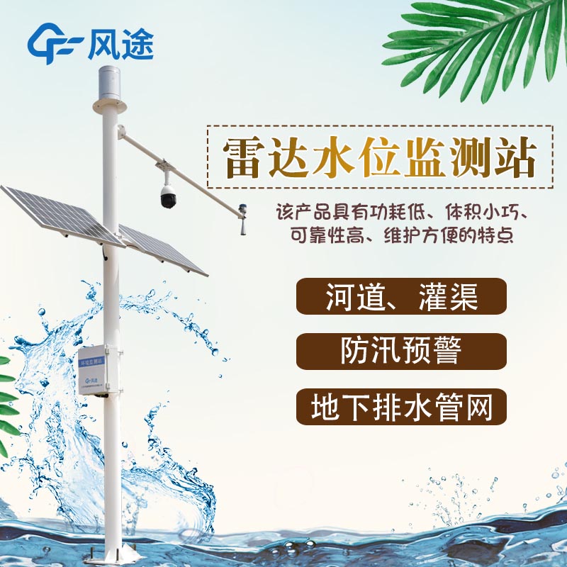
The rainfall and water level system can accurately monitor both the rainfall amount and the changes in water level simultaneously, providing crucial data for many fields. The rainfall and water level system based on the Internet of Things (IoT) technology mainly consists of a data collection unit, a data transmission network, a data processing center, and user terminals.
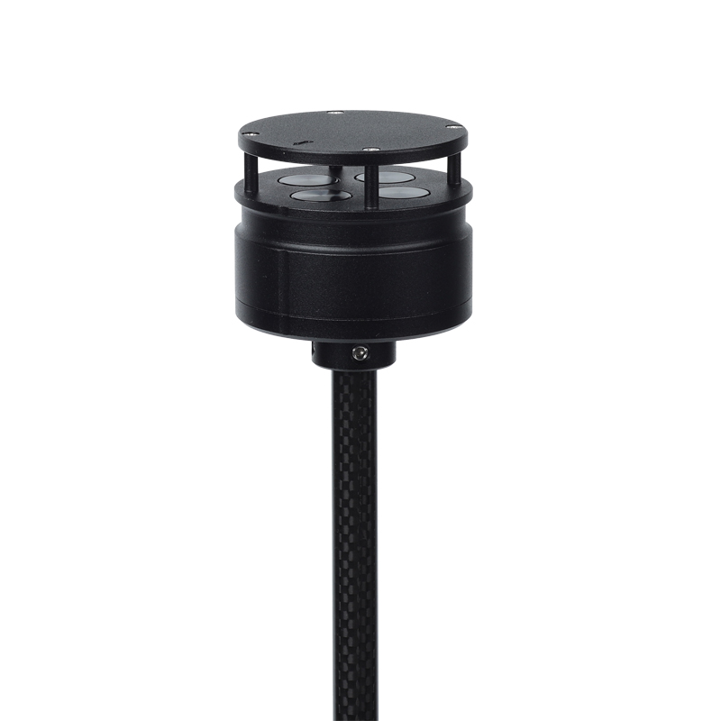
The rainfall sensors and water level sensors in the data collection unit are installed at key locations such as reservoirs, river channels, lakes, and urban drainage pipe networks, converting rainfall and water level information into transmittable signals. Depending on the on-site environment and requirements, the data transmission network can choose wired or wireless methods. For example, wireless communication technologies such as GPRS, LoRa, NB-IoT, 4G, and 5G are used to transmit data to the data processing center.
After receiving the data, the data processing center stores, organizes, analyzes, and processes it. By using algorithm models, it predicts water level changes, evaluates the rainfall grade, and determines the flood risk. It triggers warning signals according to the early warning mechanism. Additionally, it can query and statistically analyze historical data and generate reports and curves. User terminals, such as computers, mobile phones, and tablets, allow users to view real-time data, the location of monitoring points, historical curves, and warning information anytime and anywhere. They can receive warning notifications, and some terminals can also remotely configure and manage device parameters.
This system has a high degree of automation, reducing labor costs. It features high monitoring accuracy and good real-time performance, enabling the rapid transmission and processing of data. It also has strong scalability and compatibility and can be integrated with meteorological monitoring systems and other systems.
what is rain gauge is a tool for measuring how much rain falls in a particular area over a period of time, and meteorologists use rain gauges to determine how much rain falls in a particular area....
The 10km visibility sensor is a high-performance device that accurately measures visibility and plays a key role in a variety of applications. In this article, we will describe the working principle of the 10km visibility sensor, its advantages and its importance in areas such as meteorological obse...
Field microclimate refers to a small local area, which is the most important environmental condition affecting crop growth and development and yield formation. By analyzing the distribution and characteristics of microclimate elements in farmland through field microclimate observation stations, we c...
With the continuous advancement of urban construction, dust pollution at construction sites has become a key focus of environmental governance. Dust Monitoring Equipment enables all - round and real - time monitoring of construction site dust, providing strong data support and decision - making basi...


 Skype
Skype
 whatsapp
 mail
mail