Shandong Fengtu IOT Technology Co., Ltd
Sales Manager:Ms. Emily Wang
Cel,Whatsapp,Wechat:+86 15898932201
Email:info@fengtutec.com
Add:No. 155 Optoelectronic Industry Accelerator, Gaoxin District, Weifang, Shandong, China


Sales Manager:Ms. Emily Wang
Cel,Whatsapp,Wechat:+86 15898932201
Email:info@fengtutec.com
Add:No. 155 Optoelectronic Industry Accelerator, Gaoxin District, Weifang, Shandong, China
time:2025-06-20 09:38:44 source:Weather Station viewed:627 time
Irrigation channel flow monitoring realizes continuous dynamic monitoring of water flow in irrigation channels through the deployment of various measuring equipment and data collection technologies. Based on flow monitoring data, precise irrigation plans can be formulated by combining indicators such as crop water requirements during the growth period and soil moisture content, achieving efficient water resource utilization, ensuring agricultural production, and promoting the development of water-saving agriculture.
Radar flowmeters have significant advantages in irrigation district flow monitoring:
First, the non-contact measurement mode keeps the equipment spatially isolated from water bodies, effectively avoiding issues such as scouring by sediment-laden water and entanglement of floating objects. This reduces equipment wear and maintenance frequency, making it particularly suitable for complex channel environments with high turbidity and abundant floating objects.
Second, equipment installation is not restricted by channel cross-sectional shapes (rectangular, trapezoidal, U-shaped, etc.) or size specifications. It can be quickly deployed via brackets or wall-mounted methods, shortening the project implementation cycle.
Third, measurement technologies based on the Doppler effect or radar wave reflection principle can achieve a measurement accuracy within ±2%, and collect flow data in real time with sub-second response speed. Combined with communication technologies such as NB-IoT and 4G/3G, data can be synchronously transmitted to the monitoring center to meet real-time monitoring needs.
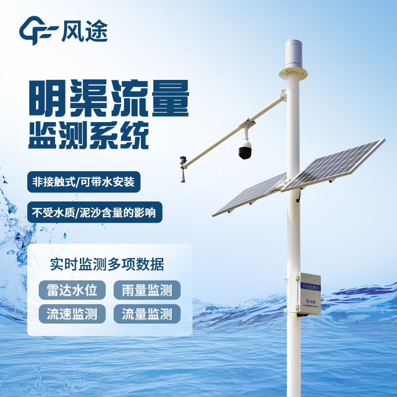
The Water Flow Monitor FT-ML3 is an intelligent solution integrating radar flow monitoring technology.
The system consists of a front-end sensing layer, data transmission layer, and management application layer:
The sensing layer uses radar flowmeters to monitor channel flow in real time.
The data transmission layer employs 4G/3G cellular networks or LoRa wireless communication technologies to encrypt and upload raw monitoring data to cloud servers.
The management application layer is developed based on a B/S architecture, supporting multi-terminal access. Managers can view flow data of each monitoring point in real time through web interfaces or mobile apps, generate historical trend charts, and statistical reports. The system has a built-in threshold alarm module that automatically pushes early warning information via SMS, email, etc., when monitoring data exceeds preset ranges.
Automatic weather stations are widely used in China, not only in agricultural management, but also in industrial production, open-air stacking of materials, environmental monitoring, traffic safety, meteorological early warning and other fields. With the continuous improvement of science and technol...
How much do we know about dissolved oxygen? Today, let’s introduce relevant knowledge about dissolved oxygen sensors. Measuring dissolved oxygen concentration is required in fields such as medicine, chemistry, environmental monitoring, marine analysis, molecular biotechnology, biological process co...
The electronic weather instrument is a portable device that integrates multiple meteorological data, including wind speed, wind direction, temperature, humidity, atmospheric pressure, altitude, thermal index, wet-bulb temperature, wave height, dew point temperature, wind chill index, and GNSS positioning. This highly integrated instrument is widely used in environmental monitoring, meteorological research, third-party testing, and emergency response, providing accurate meteorological data support....
Most of the new energy research and development work is actually carried out in a relatively open environment, especially for wind and solar energy research and development, often due to the installation of the environment is very open caused by some important devices are easily affected by changes...


 Skype
Skype
 whatsapp
 mail
mail