Shandong Fengtu IOT Technology Co., Ltd
Sales Manager:Ms. Emily Wang
Cel,Whatsapp,Wechat:+86 15898932201
Email:info@fengtutec.com
Add:No. 155 Optoelectronic Industry Accelerator, Gaoxin District, Weifang, Shandong, China


Sales Manager:Ms. Emily Wang
Cel,Whatsapp,Wechat:+86 15898932201
Email:info@fengtutec.com
Add:No. 155 Optoelectronic Industry Accelerator, Gaoxin District, Weifang, Shandong, China
time:2026-07-13 09:19:13 source:Weather Station viewed:42 time
The river water level monitoring system is a fully automated, online hydrological monitoring device based on microwave radar technology. It employs K-band planar radar to measure water levels without physical contact, remaining unaffected by temperature, sediment, pollutants, or floating debris. Suitable for applications such as rivers, irrigation canals, underground drainage networks, and flood warning systems, it delivers accurate, real-time water level data.
River water level monitoring is a fundamental aspect of hydrological monitoring, directly impacting flood warnings, water resource management, and the operational safety of water conservancy infrastructure. Traditional measurement methods—such as manual readings from water level staffs and float-type gauges—suffer from issues like poor timeliness, the need for dedicated stilling wells, and high maintenance costs. With advancements in radar technology and the Internet of Things (IoT), non-contact river water level monitoring systems based on microwave principles have increasingly become the industry standard.
The system utilizes K-band planar radar technology to emit high-frequency radar waves and capture signals reflected from the water surface. By applying the time-of-flight (ToF) principle to calculate the distance between the sensor and the water surface, it generates precise water level data. This non-contact approach eliminates the need to submerge sensors in water, thereby avoiding equipment damage caused by corrosion, sediment accumulation, or entanglement with floating debris. Built-in software algorithms perform dynamic data filtering and correction, effectively mitigating measurement errors caused by surface turbulence.
In terms of technical performance, the system offers a measurement range of 0.1 to 40 meters, an accuracy of ±5 mm, and a resolution of 1 mm. It operates within a temperature range of -45°C to 85°C, making it suitable for diverse and extreme climatic conditions. Power is supplied via a combination of solar panels (with 10W or 30W options) and rechargeable batteries, ensuring reliable long-term operation in unattended field locations. The system supports configurable sampling intervals ranging from 1 to 5,000 minutes, allowing users to flexibly adjust data acquisition frequency based on specific monitoring requirements.
Installation and maintenance of the system are straightforward. The device features a compact design, utilizes a planar array radar antenna, and includes an integrated measurement angle detection function. The mounting structure—featuring a 3-meter vertical pole and a 3-meter horizontal arm—allows for convenient installation along riverbanks or on bridges, eliminating the need for dedicated monitoring wells or complex infrastructure. The system connects to a backend workstation or cloud platform via communication interfaces such as RS232 and RS485, enabling remote data transmission and centralized management.
In terms of application, the river water level monitoring system is widely suitable for use in rivers, irrigation canals, underground drainage networks, and flood warning operations. Water resource management authorities can use the system to track real-time trends in water levels and promptly activate emergency response plans before the arrival of flood peaks. The system is also applicable to urban waterlogging monitoring, reservoir water level management, and agricultural irrigation scheduling. Measurement accuracy remains unaffected by atmospheric variations in water vapor, temperature, or pressure; the system operates reliably under challenging conditions—such as rain, fog, or nighttime—providing robust data support for hydrological monitoring and disaster prevention and mitigation.
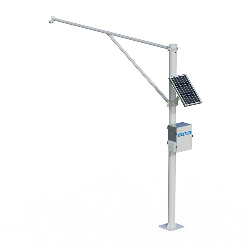
An air quality monitoring station is a device system based on the concept of grid - based layout, which conducts all - round and refined monitoring of air quality in a specific area. It divides the monitoring area into multiple grids and sets up monitoring stations at key positions in each grid to a...
Weather changes affect humans everywhere. Not to mention agriculture, which depends on the weather, urban traffic safety is also constrained by the weather. Inclement weather, such as rain, snow and igloos, are simply road killers and are important factors affecting traffic safety. Therefore, in ord...
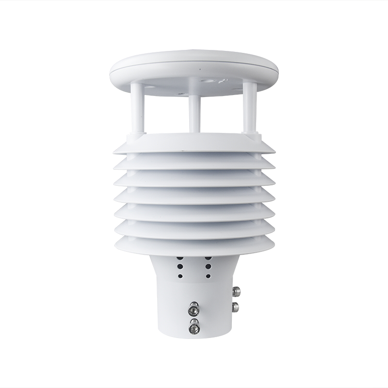
The Mini Ultrasonic Anemometer has many obvious advantages in the field of wind speed and direction monitoring.First of all, for application scenarios that need to consider economy, it is an ideal choice. It can play a role in both land and marine environments. Different from traditional wind cups,...
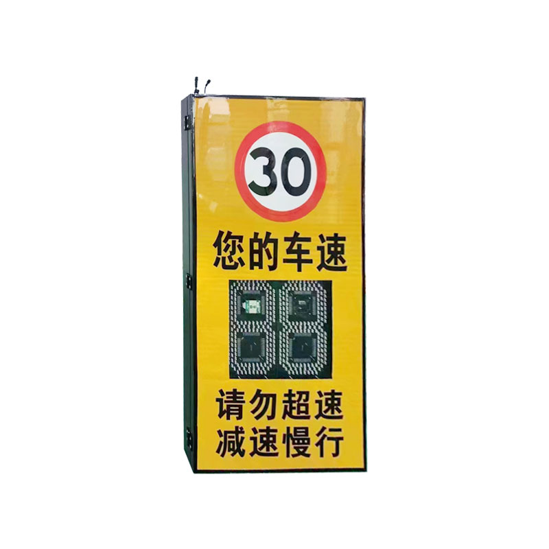
Accompanied by China's highway construction mileage continues to increase, the proportion of tunnels in the new highway mileage is also increasing. Tunnels have the structural characteristics of spatial closure and band spreading, which has produced a series of changes to the driving environment...


 Skype
Skype
 whatsapp
 mail
mail