Shandong Fengtu IOT Technology Co., Ltd
Sales Manager:Ms. Emily Wang
Cel,Whatsapp,Wechat:+86 15898932201
Email:info@fengtutec.com
Add:No. 155 Optoelectronic Industry Accelerator, Gaoxin District, Weifang, Shandong, China


Sales Manager:Ms. Emily Wang
Cel,Whatsapp,Wechat:+86 15898932201
Email:info@fengtutec.com
Add:No. 155 Optoelectronic Industry Accelerator, Gaoxin District, Weifang, Shandong, China
time:2025-01-10 10:03:05 source:Weather Station viewed:929 time
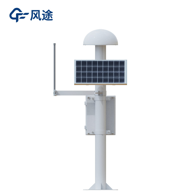
A GNSS monitoring station is a device that achieves high-precision positioning monitoring by using the global navigation satellite system. Its working principle relies on satellite navigation systems such as GPS and Beidou. It receives signals from multiple satellites to determine its own three-dimensional coordinates, continuously locates and measures the displacement of the monitored object, and combines the data of the ground reference station to perform differential processing to improve accuracy.
It consists of multiple parts. The space part has multiple GNSS satellites, which are responsible for transmitting signals to the ground and setting benchmarks. The ground reference station has known precise coordinates and is used to correct the satellite positioning data of the measurement station. The monitoring terminal includes a GNSS antenna, a solar panel, a main control chassis and a mounting bracket, and undertakes the tasks of receiving, collecting and uploading data.
The positioning accuracy can reach millimeter to sub-meter level. It can collect and transmit data in real time, allowing staff to timely master the situation of the monitored object. It can operate automatically, saving manpower. It is compatible with multiple satellite navigation systems and the data is reliable. With stable software and hardware, it can adapt to harsh environments and operate stably for a long time.
It is widely used in geological disaster monitoring to keep an eye on potential hazards such as landslides and mudslides; in engineering deformation monitoring to safeguard infrastructure such as bridges and dams; in earthquake monitoring to assist in the study of crustal movement; and in geodetic surveying to lay a solid data foundation for research in multiple fields.
In the practice of agricultural IoT, soil moisture monitoring has become a core application. Through this technology, we are able to accurately obtain the growth reality of crops, providing key data support for subsequent intelligent decision-making. Based on the real-time monitoring of soil moistur...
Reservoir water condition refers to the data of water level, flow rate and flow velocity, which is an important factor to ensure the safe development of reservoirs, and also related to the people's life and production. So it is necessary to do a good job of collecting and processing these data....
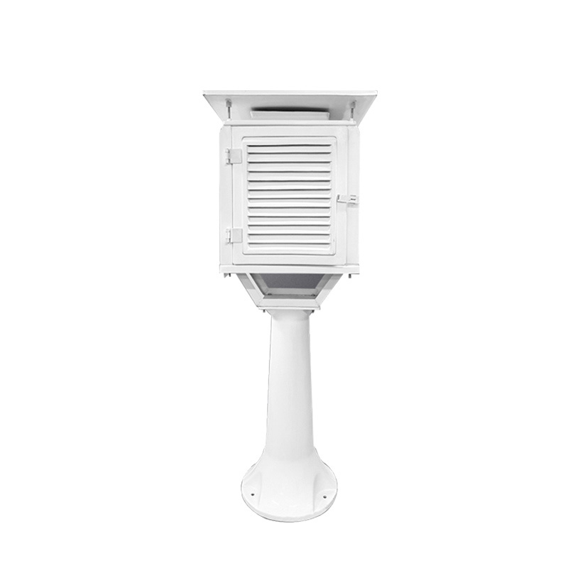
The integrated rainfall station is an important rainfall monitoring tool. Modern integrated rainfall stations are highly automatic, so it is no longer necessary to assign special personnel to watch. It is placed in the field to automatically collect rainfall data, and then transmitted remotely throu...
In the construction project of automated geological disaster monitoring, the rainfall monitoring station, as an important device, plays a crucial role in the prevention and response to geological disasters.Heavy rainfall is a key factor triggering geological disasters such as debris flows and landsl...


 Skype
Skype
 whatsapp
 mail
mail