Shandong Fengtu IOT Technology Co., Ltd
Sales Manager:Ms. Emily Wang
Cel,Whatsapp,Wechat:+86 15898932201
Email:info@fengtutec.com
Add:No. 155 Optoelectronic Industry Accelerator, Gaoxin District, Weifang, Shandong, China


Sales Manager:Ms. Emily Wang
Cel,Whatsapp,Wechat:+86 15898932201
Email:info@fengtutec.com
Add:No. 155 Optoelectronic Industry Accelerator, Gaoxin District, Weifang, Shandong, China
time:2026-11-17 09:07:12 source:Weather Station viewed:1 time
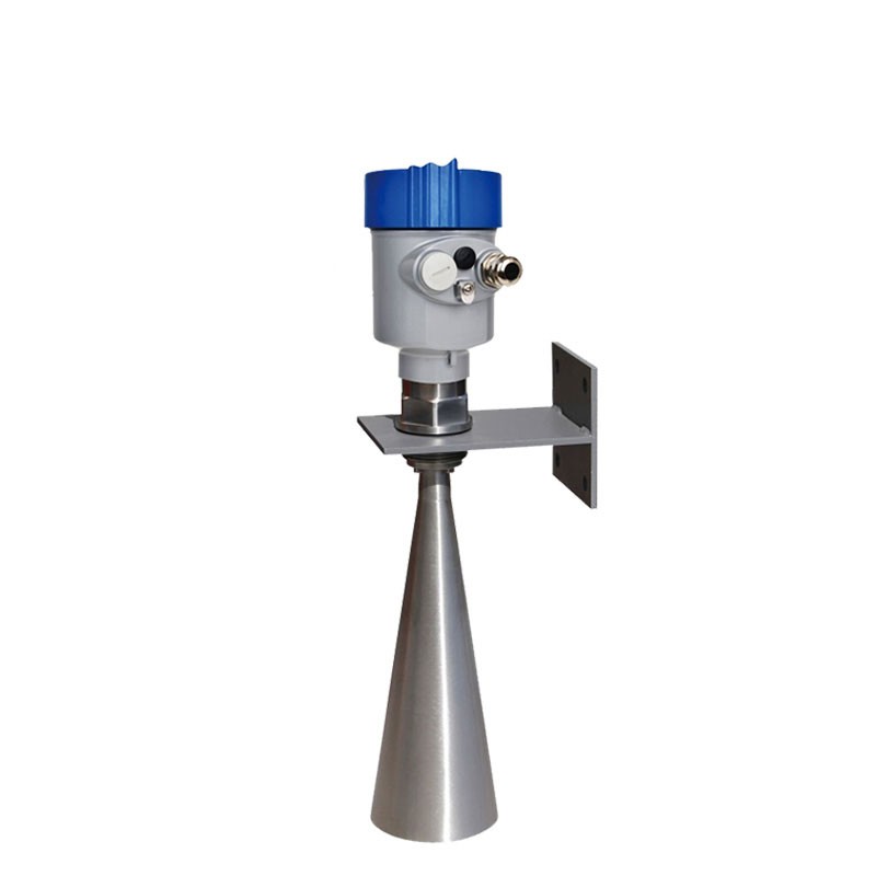
Radar Level Gauge is an electronic device that uses electromagnetic waves to non-contactly measure water level height. The current 76-81GHz frequency modulated continuous wave products for water body monitoring cover a measurement range of 0.05 meters to 35 meters under conventional configurations. By replacing different types of antenna components, the maximum range can be extended to 120 meters, and the near-end blind zone can be controlled to about 8 centimeters. This frequency band has a shorter wavelength and wider operating bandwidth than the traditional 26GHz radar. The RF front-end is based on a self-developed CMOS millimeter-wave chip. The architecture is relatively compact and the signal-to-noise ratio performance has been improved. As a result, effective echo signals can still be extracted in close areas close to the antenna end face, reducing the installation height restriction in the blind zone. The equipment supports two-wire and four-wire power supply. The process connection adopts G1½A or 1½NPT thread. It can also be fixed with flange or bracket. It has strong on-site adaptability.
For open water bodies such as rivers, reservoirs, and open channels, Radar Level Gauge is usually installed on the lower edge of a bridge or on a cantilever bracket, and the antenna is pointed vertically at the water surface. The lens antenna focuses electromagnetic waves into a narrow beam, and the narrowest angle can be 3°, which means that the transmitted energy is concentrated in a smaller cone angle, and the probability of interference echoes generated by surrounding structures such as gate piers, slope protection or floating objects entering the receiving channel is reduced, and the selection of the installation location is relatively flexible. The surface of the water body exhibits specular reflection characteristics in most cases. The echo strength formed by the short wavelength of the 77GHz frequency band on the water surface is sufficient to support stable ranging, with a nominal accuracy of ±1 mm. Under heavy rainfall or severe water surface fluctuations, the signal processing unit maintains continuous calculation of the water surface distance through the echo tracking algorithm. The data refresh cycle is at the millisecond level, which can meet the basic real-time requirements of hydrological monitoring.
For industrial water scenes with high dust or high temperature, such as cooling towers, sedimentation tanks or some process drainage channels, the closed radiation surface of the lens antenna reduces the accumulation of dust at the radiation port and avoids signal attenuation caused by dust accumulation. The process temperature is -40°C to 80°C under normal configuration. The antenna material is made of PTFE with a 304 stainless steel horn structure, which is chemically inert to water and most industrial liquids. In some models that need to withstand higher ambient temperatures, the withstand temperature can be extended to 200°C through structural isolation or heat dissipation design, covering most site conditions where high-temperature water or steam is permeated. The protection level reaches IP67, and the outer shell can withstand short-term immersion in water, making it suitable for long-term outdoor deployment.
From the perspective of system integration, Radar Level Gauge provides an RS485 Modbus digital interface. The power consumption of the whole machine is less than 0.03 watts, making it easy to connect to solar-powered telemetry terminals. The debugging process supports LCD on-site button operation, Bluetooth near-field connection, and remote parameter modification and firmware upgrade through the 4G module, reducing the frequency of maintenance personnel traveling to remote sites. In water metering or flood control early warning systems, water level data is collected by the terminal and uploaded to the platform, where it is jointly calculated with parameters such as flow velocity and rainfall to provide a basis for dispatching decisions. This type of equipment forms a set of configuration options for water body monitoring selection between range coverage, dead zone control and installation adaptability. It is especially suitable for open channel and river sites that have constraints on the near-end measurement dead zone and need to take into account higher range reserves.
Water: Essential, but Water Quality Matters MoreWater is vital, yet water quality is even more critical. To protect water resources, we need to measure water quality, focusing on indicators such as temperature, transparency, hardness, pollutant content, and pH. These data directly reflect the health...
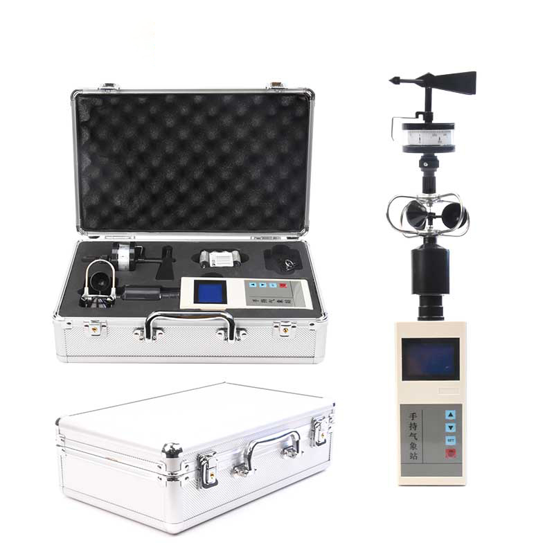
Wind speed, the speed at which air moves, is a key parameter in meteorology. When the difference in air pressure between two places increases, the speed of air movement increases, resulting in an increase in wind speed and an increase in the force of the wind. For this reason, it is common to use wi...
China is a large agricultural country, and agriculture occupies an important position in the national economy. In order to guarantee the continuous supply and quality and safety of agricultural products, we need to use agricultural high technology to promote the modernisation of agriculture. Precisi...
rients such as nitrogen, phosphorus and potassium. This comprehensive monitoring capability greatly enhances the prevention of and response to agro-meteorological disasters, provides strong data support for meteorological services for modern agriculture, and lays a solid foundation for promoting the...


 Skype
 whatsapp
 mail