Shandong Fengtu IOT Technology Co., Ltd
Sales Manager:Ms. Emily Wang
Cel,Whatsapp,Wechat:+86 15898932201
Email:info@fengtutec.com
Add:No. 155 Optoelectronic Industry Accelerator, Gaoxin District, Weifang, Shandong, China


Sales Manager:Ms. Emily Wang
Cel,Whatsapp,Wechat:+86 15898932201
Email:info@fengtutec.com
Add:No. 155 Optoelectronic Industry Accelerator, Gaoxin District, Weifang, Shandong, China

Model:FT-CS50+
Brand:fengtu
1、Ultrasonic depth sounder Product Introduction
Ultrasonic depth sounder is an electronic device for measuring water depth, and its application scenarios cover marine navigation, hydrological survey, engineering survey and other fields.Ultrasonic depth sounder is a portable depth sounder for measuring water bodies such as reservoirs, lakes, rivers, and shallow seas. To measure depth, an ultrasonic transducer is placed at a predetermined position below the water surface. Using the fixed velocity of ultrasound in water (V) and the time between transmission and reception (T), the instrument automatically calculates the water depth (H). This convenient and versatile handheld ultrasonic distance meter was developed by our company, drawing on years of production experience and the strengths of various similar products. The ultrasonic transceiver and converter circuit utilizes a dedicated large-scale integrated circuit (LSI) with a 99% component placement rate. The LCD displays the depth measurement results, ensuring long-term reliability while minimizing power consumption. The instrument offers precise measurements, low power consumption, high reliability, ease of use, simple operation, accurate measurement speed, and portability. It can measure depth in both still and swift water, with water velocities ≤ 5 m/s. It is an ideal depth measurement instrument for hydrological surveys, hydropower plant reservoirs, lake and river surveys, and environmental water monitoring.
2、Ultrasonic depth sounder Technical Features
For external (inboard) installation on medium and small boats, with a 10-meter cable.
Simultaneously displays water depth, water temperature, latitude and longitude coordinates, travel speed, time, date, battery status, and Bluetooth connection status.
Self-stabilizing measurement technology and fast tracking technology provide real-time measurement results.
Built-in watchdog circuit ensures reliable and stable operation over long periods of time.
High-precision clock with an annual error of 3 PPM.
Storage utilizes a 16MB FLASH analog USB drive, allowing direct data access from a computer via a USB cable.
Automatically stores data in CSV format using the FAT32 file system.
High-brightness display for clearer field measurement data.
Beidou GPS dual-mode positioning displays real-time latitude and longitude, as well as ground speed.
Printer-free data printing via Bluetooth connection.
RS485 data output allows direct data access from a host computer, extending communication range.
Automatically adjusts echo sampling threshold, transmit power, and amplifier gain.
3、Ultrasonic depth sounder Technical Parameters
| Measurement principle | Ultrasonic ranging method |
| Range of measurement | 0-50 meters |
| Blind spot | ≤0.5 meters |
| Power | Transmission power 32 levels, automatic gain adjustment |
| Minimum display resolution | 0.1mm |
| Precision | ±0.5%×full scale |
| Display | Chinese LCD full color screen display |
| Working frequency | 200~2000KHz automatic adjustment |
| On-site set-up: | Complete by pressing the main key. |
| Calibration: | Factory calibration, can be calibrated on site |
| Output, storage | USB reads data, board flash automatically generates an EXCEL file for measurement data, maximum storage quantity 10000. |
| Working voltage: | Built-in battery, external charger |
| Keyboard: | Number keys |
| Material: | Host: ABS engineering plastic |
| Sensor: ABS engineering plastic | |
| Measuring rod: stainless steel, 2 pieces | |
| Weight: | Host: 330g |
| Sensor: 650~750g | |
| Sensor cable: | Diameter 5~10mm×10m |
| Sensor counterweight tube: | Length 53cm |
| Temperature measurement range: | -45℃~85℃ |
| Working temperature: | ≤80%RH no dew |
| Storage temperature: | ≤80%RH no dew-40℃~70℃ |
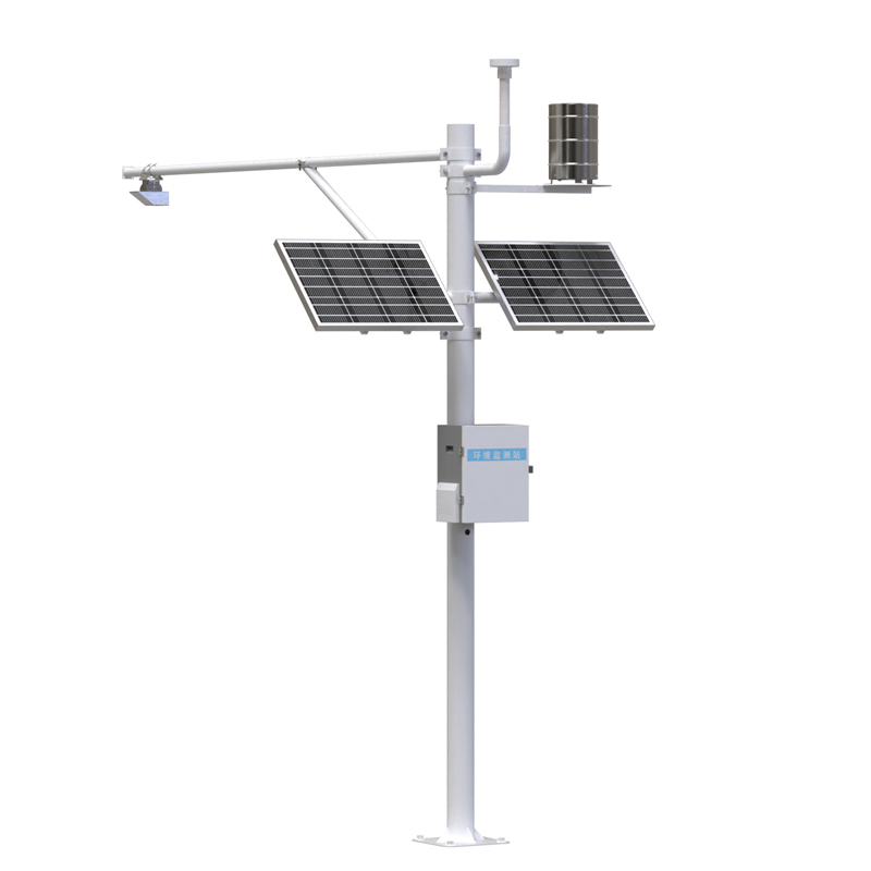
Small weather stations, an affordable alternative to large weather observation equipment, are widely used because of their small size, low cost and ease of maintenance and management. It is more than enough to be used in those fields that do not require high accuracy, such as agricultural planting b...
The Portable Visibility Detector is a portable device for measuring visibility in the atmosphere. Its main applications are in transport, energy, chemical and aviation fields and it has a wide range of practical value. The following section describes the solution for the portable visibility detector...
Micro air quality monitor is a new type of environmental monitoring sensor with microcomputer as the core. It is characterized by small size, light weight, high measurement accuracy and easy operation, and can be widely used in air pollution source monitoring and environmental quality evaluation. It...
It is feasible to use soil moisture monitoring system to guide agricultural irrigation. Soil moisture monitoring systems can monitor soil moisture, temperature, conductivity and other parameters in real time to help farmers understand the soil condition of farmland in time and provide scientific bas...


 Get a Free Quote
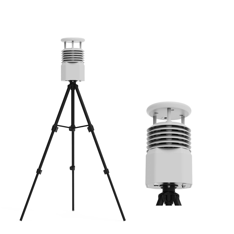

 Skype
Skype
 whatsapp
 mail
mail