Shandong Fengtu IOT Technology Co., Ltd
Sales Manager:Ms. Emily Wang
Cel,Whatsapp,Wechat:+86 15898932201
Email:info@fengtutec.com
Add:No. 155 Optoelectronic Industry Accelerator, Gaoxin District, Weifang, Shandong, China


Sales Manager:Ms. Emily Wang
Cel,Whatsapp,Wechat:+86 15898932201
Email:info@fengtutec.com
Add:No. 155 Optoelectronic Industry Accelerator, Gaoxin District, Weifang, Shandong, China
time:2025-11-17 09:36:33 source:Weather Station viewed:442 time
Based on microwave technology, the Water Level Monitoring System system automatically monitors water level, flow velocity, and flow rate through a sensor network, providing precise data for flood control and water management.
Along winding riverbanks and along important water conservancy channels, you can often see some quietly standing technological devices. Silent and unobtrusive, they constantly sense every breath and pulse of the water flow—this is the fully automated online hydrological monitoring system based on microwave technology. Like a loyal "smart guardian," it builds a solid data defense line for water resource management and flood and drought control with its precise perception and rapid response.
The core of the Water Level Monitoring System system lies in the real-time capture and analysis of key data from water bodies such as channels and rivers. It can simultaneously monitor the three core hydraulic elements—water level, flow velocity, and flow rate—while also taking into account information such as rainfall, comprehensively depicting a three-dimensional, dynamic hydrological map. Compared with traditional, time-consuming, and labor-intensive measurement methods, it achieves a revolutionary leap from "intermittent snapshots" to "continuous cinematic" data.
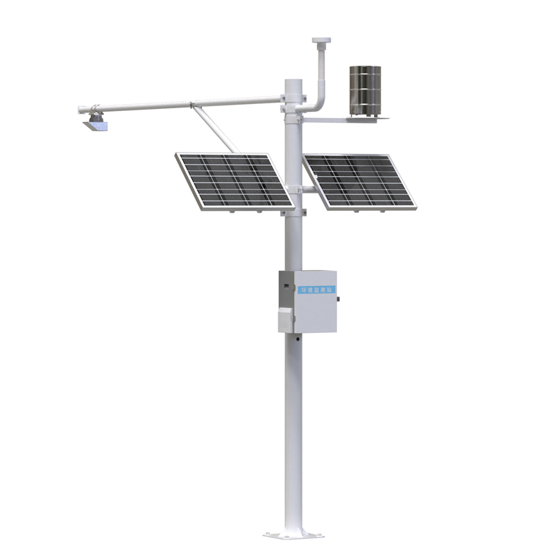
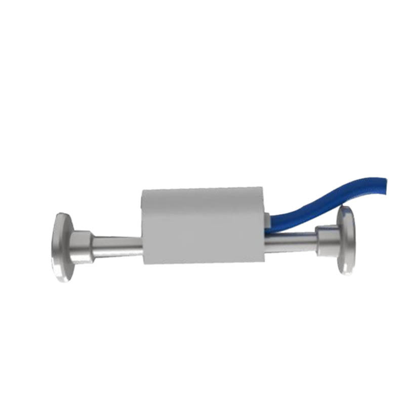
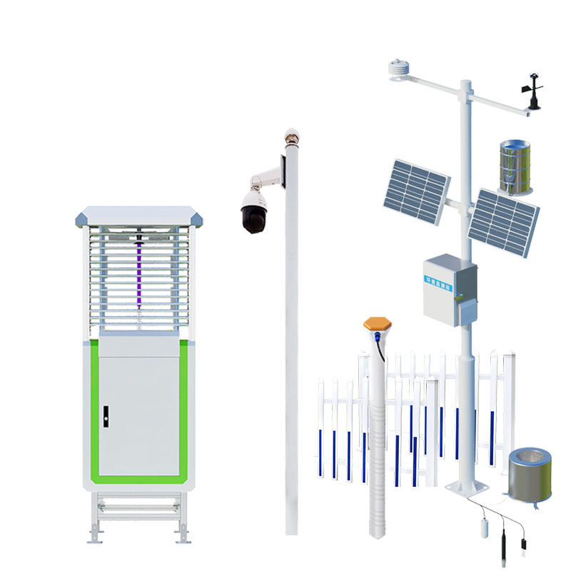
Its superior performance stems from a meticulously designed "sensing-transmission" architecture. The system employs an integrated combination of "hydrological telemetry substations + sensors." At key hydrological monitoring points distributed throughout the area, staff scientifically install a series of sensors with diverse functions: water level sensors act like keen eyes, closely monitoring water surface fluctuations; rainfall sensors act like precise scales, measuring every drop of rainwater falling into the area; and flow sensors act like as astute accountants, comprehensively calculating the total amount of water passing through. Furthermore, depending on needs, meteorological sensors can be added to correlate with wind conditions and evaporation, and even water quality sensors can be used to assess water health, collectively forming a powerful three-dimensional sensing network.
These sensors act like nerve endings, collecting the raw data and aggregating it to the hydrological telemetry substations. The substations, acting as the connecting "nerve center," are responsible for the initial processing and packaging of the data, and then using wireless communication technology, transmitting the information in real time to a remote monitoring center. The entire process is highly automated, requiring no human intervention, ensuring the timeliness and continuity of the data.
The value brought by this system is profound. For flood control command departments, real-time and accurate water level and flow data are the cornerstone of early warning and scientific dispatch decisions, buying valuable emergency time for downstream areas. For water conservancy project management, precise flow monitoring is crucial for optimizing water resource allocation and ensuring benefits such as irrigation and power generation. Furthermore, the long-term accumulation of complete hydrological datasets is an indispensable scientific resource for studying regional water cycle patterns and assessing the impact of climate change on water resources.
In conclusion, this fully automated system based on microwave technology transcends the realm of a mere tool. It is a bridge connecting the physical world and digital management, an indispensable sensing foundation in a smart water conservancy system. With silent data, it tells the story of rivers, safeguarding the peace and vitality of the basin.
Strawberries are fruits in spring, but with the development of greenhouse technology, we can now also eat strawberries in winter. Winter strawberries are harvested from greenhouses because they have meteorological requirements. Therefore, we can create an environment suitable for strawberry growth i...
environmental parameters of sensors are used to monitor the atmospheric environment, which can detect temperature, humidity, pressure, light, rainfall, wind speed, wind direction, noise, PM2.5 and other environmental parameters....
In recent years in the field of agriculture, the agricultural Internet of Things is mentioned very often, as we all know, the agricultural Internet of Things technology on the rapid development of the sudden agricultural help, but in the end how the integration of agriculture and Internet of Things...
Rainfall is an important meteorological element, which needs to be closely monitored all the time. The rainfall monitoring station FT-YJ2 is an instrument launched by Fengtu Technology to closely monitor the rainfall changes in a region in real time. It is based on the Internet of Things technology...


 Skype
Skype
 whatsapp
 mail
mail