Shandong Fengtu IOT Technology Co., Ltd
Sales Manager:Ms. Emily Wang
Cel,Whatsapp,Wechat:+86 15898932201
Email:info@fengtutec.com
Add:No. 155 Optoelectronic Industry Accelerator, Gaoxin District, Weifang, Shandong, China


Sales Manager:Ms. Emily Wang
Cel,Whatsapp,Wechat:+86 15898932201
Email:info@fengtutec.com
Add:No. 155 Optoelectronic Industry Accelerator, Gaoxin District, Weifang, Shandong, China
time:2026-02-11 09:42:57 source:Weather Station viewed:481 time
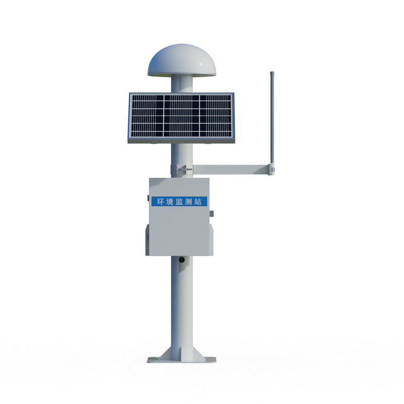
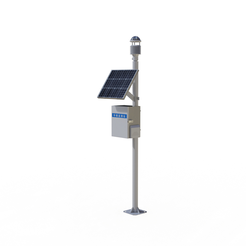
BeiDou GNSS monitoring is a technical solution based on the BeiDou Navigation Satellite System, utilizing differential RTK technology to achieve millimeter-level precision displacement measurement. The system consists of a receiver, antenna, data transmission, power supply, and protective devices, and is widely used in engineering safety monitoring fields such as geological disasters and bridge deformation.
BeiDou GNSS monitoring technology receives signals from multiple BeiDou satellites and performs real-time differential (RTK) calculations using ground reference stations, continuously acquiring precise three-dimensional coordinate changes at monitoring points. Its monitoring accuracy reaches the horizontal and vertical millimeter levels, enabling long-term, continuous, and automated sensing of minute deformations of the earth's surface and structures.
In the field of geological disaster monitoring, this technology plays a crucial role. By deploying monitoring points in potential landslide areas and collapsed rock zones, the system can capture the cumulative displacement and accelerating deformation trends of the mountain surface in real time. Combined with data analysis from sensors such as rainfall and groundwater levels, it can provide direct and reliable spatial displacement evidence for landslide early warning, significantly improving the accuracy and timeliness of warnings, and buying valuable time for personnel evacuation and engineering remediation.
In bridge deformation monitoring, BeiDou GNSS monitoring provides an important tool for structural health diagnosis of large bridges. Monitoring points are typically deployed at the top of bridge towers and key sections of the main girder, recording the three-dimensional displacement response of the bridge under temperature loads, traffic loads, and wind loads over a long period. By analyzing the time series of displacement data, the overall stiffness changes of the bridge structure can be assessed, abnormal deformation patterns can be identified, and quantitative data can be provided for judging the bridge's operational status and guiding maintenance.
Besides geological disaster and bridge monitoring, this technology is also widely used in the safety monitoring of tall buildings, large reservoir dams, and high-speed railway subgrades. Its core advantage lies in its all-weather, all-time operation, requiring no line of sight, and directly acquiring absolute position information, making it particularly suitable for monitoring scenarios with complex terrain and wide areas that are difficult to cover with traditional measurement methods.
In actual deployment, the station network needs to be optimized according to the monitoring objectives and accuracy requirements, ensuring the reliability of power supply and communication, and taking necessary physical protection measures. Monitoring data is transmitted back to the cloud monitoring platform in real time via wireless network. Combined with professional analysis software, automatic data processing, visualization of deformation trends, and multi-level threshold early warning can be achieved.
Overall, millimeter-level displacement monitoring based on BeiDou GNSS has become a mature spatial sensing technology in modern engineering safety and disaster prevention and mitigation systems. With its high-precision, continuous spatial displacement data, it provides indispensable technical support for the safe operation of infrastructure and the early identification of geological disasters.
Carbon monoxide and nitrogen dioxide gases in mines pose great hazards to the safety of miners' lives and mine operations, which is the main reason for their monitoring.Carbon monoxide is a colorless, odorless, and tasteless gas. Its affinity for human hemoglobin is 200 - 300 times higher than t...
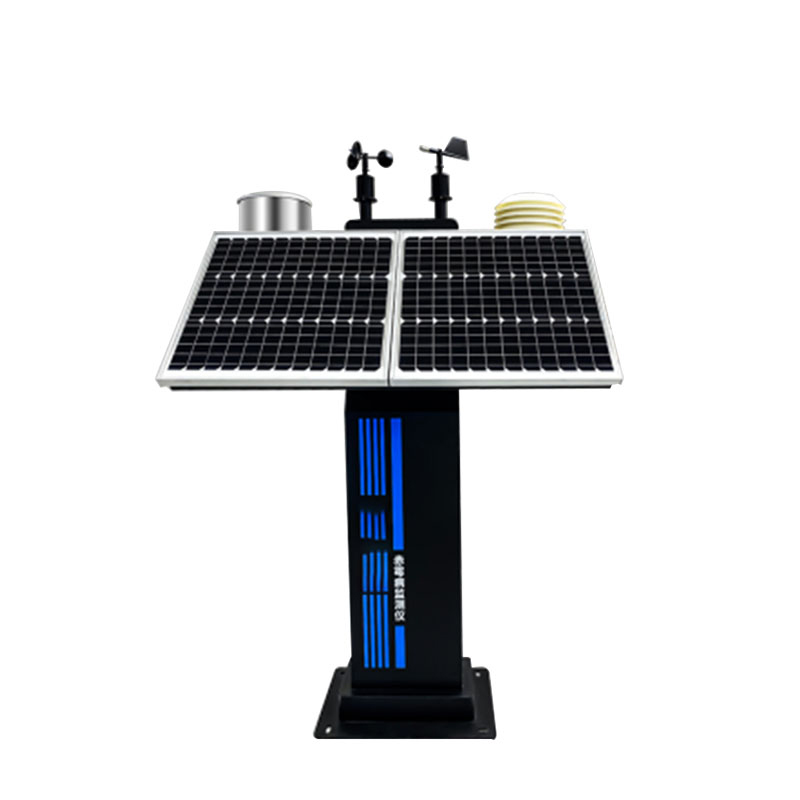
Four air and two dust miniature weather station , is a small weather observation instrument launched by Windway Technology. It is mainly used to collect, analyze and process and output meteorological data, and provide a variety of climate information services for production management. It adopts the...
The rain real-time monitoring system can automatically monitor the rainfall, so as to realize the rain warning.Rainfall is an important part of urban water environment comprehensive treatment, which is of great significance to ensure the safe operation of urban drainage facilities and drainage proje...
Soil is a key natural resource and is vital for crop growth. Crops are affected by dry or excessively wet soils, and economic and social development and climate change have exacerbated the problem of drought, leading to increased water scarcity and associated disaster losses. In hilly and forested a...


 Skype
Skype
 whatsapp
 mail
mail