Shandong Fengtu IOT Technology Co., Ltd
Sales Manager:Ms. Emily Wang
Cel,Whatsapp,Wechat:+86 15898932201
Email:info@fengtutec.com
Add:No. 155 Optoelectronic Industry Accelerator, Gaoxin District, Weifang, Shandong, China


Sales Manager:Ms. Emily Wang
Cel,Whatsapp,Wechat:+86 15898932201
Email:info@fengtutec.com
Add:No. 155 Optoelectronic Industry Accelerator, Gaoxin District, Weifang, Shandong, China
time:2025-11-25 09:13:32 source:Weather Station viewed:340 time
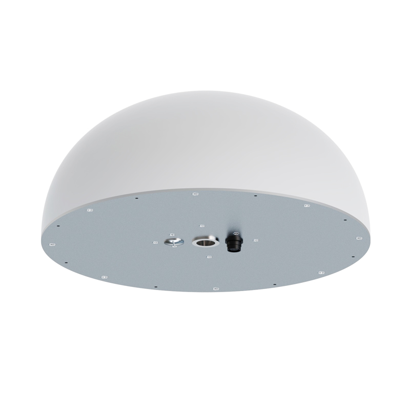
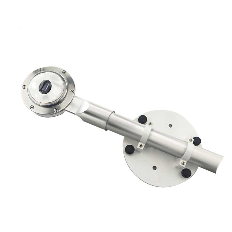
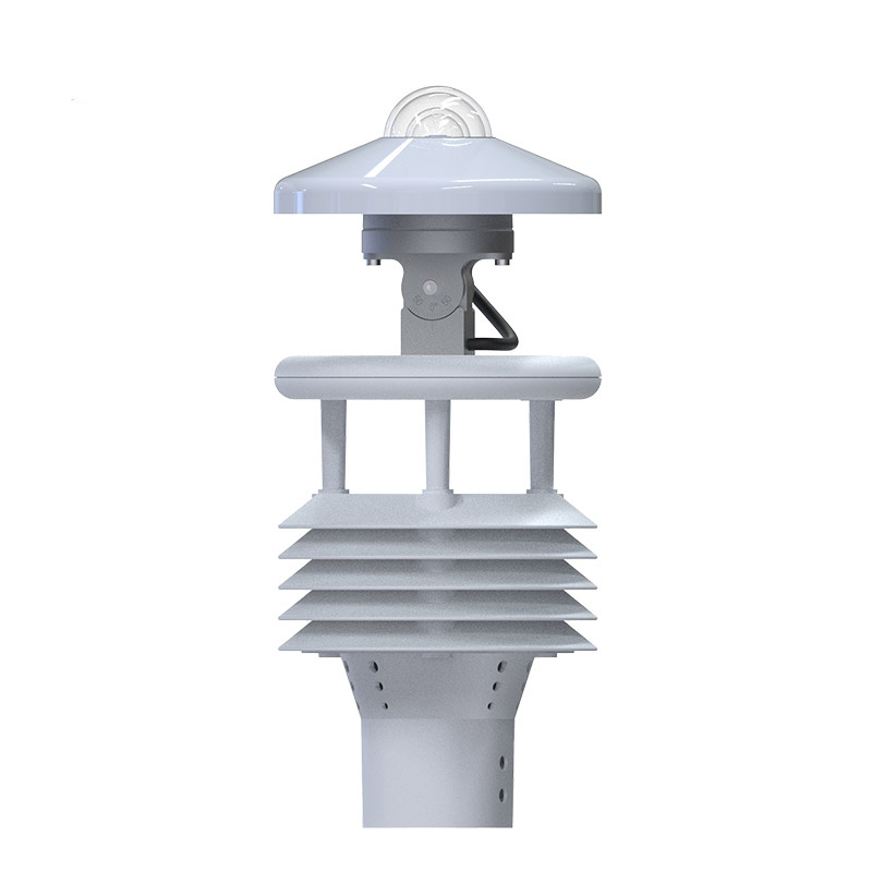
GNSS sensor is a device used to receive and process global navigation satellite system signals. This device enables precise positioning and is widely used in geological disaster monitoring, building safety assessment, and transportation management, playing a crucial role in fields such as aviation and surveying.
GNSS sensor is an electronic device specifically designed to receive, track, process, and measure global navigation satellite system signals. It can simultaneously receive signals from multiple satellite navigation systems, including the US GPS, China's Beidou, Russia's GLONASS, and the EU's Galileo system. By processing the radio signals transmitted by these satellites, the device can calculate the three-dimensional position, velocity, and time information of its antenna phase center in a specific coordinate system.
In the field of engineering safety monitoring, the application of GNSS sensor is particularly prominent. It is widely used in dam safety monitoring, where multiple monitoring points are deployed at key locations on the dam body with significant elevation differences to continuously obtain millimeter-level precision displacement data. This real-time data, processed by specialized software, generates dam deformation trend charts, providing reliable safety assessment basis for engineering managers. In bridge health monitoring, receivers are installed on key components such as bridge towers and main beams to continuously monitor the dynamic response of the bridge under temperature changes, vehicle loads, and wind forces. This monitoring method effectively identifies abnormal displacements of the bridge structure, providing data support for preventive maintenance.
Geological disaster monitoring is another important application area. In landslide early warning systems, GNSS sensor is deployed on the surface of potential landslide areas and in stable bedrock regions. By comparing the position changes of different monitoring points, the displacement rate and direction of the landslide can be accurately calculated. When the monitoring data exceeds a preset threshold, the system automatically issues a warning signal, providing valuable time for personnel evacuation and disaster prevention. This technology is also applicable to monitoring ground subsidence, mine collapse, and other geological environments.
In addition to the field of engineering safety, GNSS sensor has wide applications in aviation navigation, maritime positioning, military operations, geological exploration, and precision agriculture. In the aviation field, it provides precise navigation services for civil and military aircraft; in the maritime field, it provides real-time positioning and route planning for various vessels; in the agricultural field, by combining GNSS sensor with agricultural machinery, it enables intelligent operations such as automatic navigation and precision fertilization. Modern GNSS technology continues to develop, and the application of advanced technologies such as multi-frequency multi-system, real-time kinematic differential positioning, and precise point positioning has continuously improved its reliability in complex environments. With advancements in chip technology and algorithms, the size, power consumption, and cost of receivers are gradually decreasing, while accuracy and stability are constantly improving, creating favorable conditions for its wider application in more fields.
Fengtu Water Level Monitoring Station is a state-of-the-art surface water monitoring device designed for automatic monitoring stations in the field with water surface fluctuation filtering processing to ensure the accuracy of measurement results. The product utilizes a horn antenna design to effecti...
Used to monitor the concentration of pollutants in the air, it can measure a variety of common air pollutants, such as particulate matter, carbon monoxide, nitrogen dioxide, etc....
Flow meter is a hydrological velocity measuring instrument based on the direct proportionality between propeller speed and flow velocity. Its velocity measurement range is 0.06 to 8.00 meters per second, with a measurement error not exceeding 1.5%. It consists of a velocity sensor, a velocity...
The goal of high yields in agricultural cultivation requires an in-depth understanding of the growing environment of crops, and monitoring plays a crucial role in this process. Through accurate monitoring, we can gain a detailed understanding of the growth habits of crops, including their needs for...


 Skype
Skype
 whatsapp
 mail
mail