Shandong Fengtu IOT Technology Co., Ltd
Sales Manager:Ms. Emily Wang
Cel,Whatsapp,Wechat:+86 15898932201
Email:info@fengtutec.com
Add:No. 155 Optoelectronic Industry Accelerator, Gaoxin District, Weifang, Shandong, China


Sales Manager:Ms. Emily Wang
Cel,Whatsapp,Wechat:+86 15898932201
Email:info@fengtutec.com
Add:No. 155 Optoelectronic Industry Accelerator, Gaoxin District, Weifang, Shandong, China
time:2026-09-03 09:58:17 source:Weather Station viewed:41 time
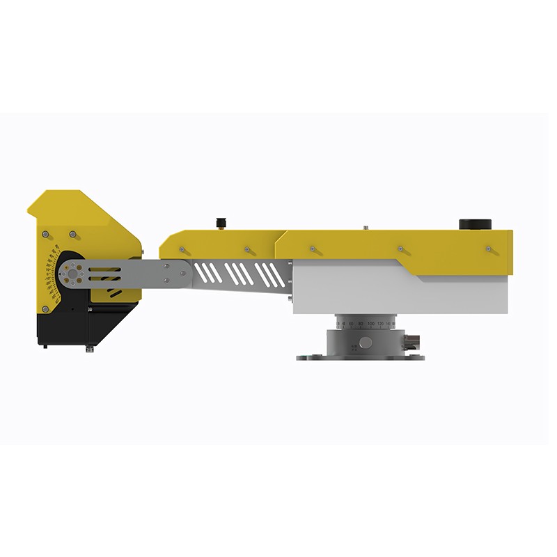
Shandong Fengtu, relying on the research achievements of Sun Yat-sen University, has developed an arc-shaped synthetic aperture radar (AR) system with a monitoring accuracy of 0.1mm. This system allows for long-range scanning of slope deformation in mines, tailings ponds, and highways, providing 24/7 automated landslide and collapse early warning.
Shandong Fengtu specializes in the research and development and equipment supply of slope displacement monitoring technology. Based on the research achievements of Sun Yat-sen University, it has developed an independently developed arc-shaped synthetic aperture radar monitoring system with proprietary intellectual property rights. Utilizing phase differential interferometry technology, it collects data on minute deformations of various geological bodies, providing long-term or temporary stability monitoring and automated early warning services for projects such as open-pit mines, geological hazard points, water conservancy projects, and railway and highway slopes.
The entire monitoring system adopts an edge computing architecture, integrating all functional modules such as information processing, positioning and orientation, and wireless communication within the device. It can independently complete field monitoring tasks without requiring numerous external auxiliary devices. The equipment boasts sub-millimeter measurement accuracy, a maximum monitoring distance of 2000 meters, and 360-degree wide-area scanning coverage. Even in harsh environments such as rain, fog, snow, dust, and fire, it can operate stably around the clock, unaffected by external weather conditions, ensuring continuous and reliable data output. The radar itself weighs only 10 kg, allowing for single-person on-site deployment. It can also be mounted on a transport trailer platform for mobile monitoring, adapting flexibly to different site conditions.
The slope displacement monitoring equipment primarily collects slope surface displacement data. The system allows setting early warning thresholds based on displacement magnitude and rate of change. The scanning cycle can be adjusted as needed within the 0.5-4 minute range, with a spatial resolution ≤0.3m*10mrad. An optional electronically controlled pitch angle adjustment component is available, providing a pitch adjustment range of up to 80 degrees, further expanding the vertical monitoring coverage area. The product is applicable to numerous high-risk areas, including tailings ponds, steep slopes, open-pit mines, and geological hazard sites along highways and railways. It can detect early, minute deformation signals in slopes, predict and warn of landslide and collapse risks, and help management units promptly identify geological safety hazards, reducing safety risks and economic losses caused by geological disasters. The company is committed to the practical application of its independent technologies, relying on high-precision radar monitoring hardware to provide stable and feasible surface deformation monitoring technology support for slope safety management projects across China.
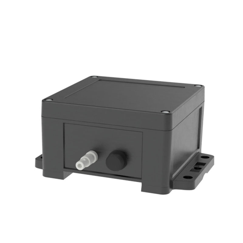
The working principles of dust detectors are mainly divided into two types: diffusion type and pump suction type, and users can choose according to actual usage scenarios and monitoring needs.Diffusion-type dust detectors utilize laser scattering technology, with a built-in fan to drive air flow and...
In the environment we live in, air quality is closely related to our health. In recent years, "four gases and two particulates" have gradually become the focus of people's attention, and the related air quality monitoring systems are also playing an increasingly important role. So, wha...
Shandong Fengtu, a manufacturer of GNSS-based slope instability monitoring systems, utilizes differential RTK technology to produce equipment capable of millimeter-level monitoring. Designed for complex operating conditions, the equipment supports real-time data transmission and remote mainten...
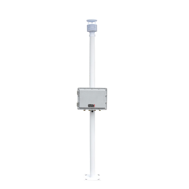
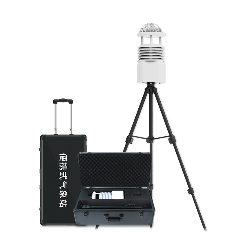
6 elements automatic weather observation station FT-CQX6 is a civil weather station product launched by Windway Technology, which is based on ultrasonic weather sensor and can monitor the conventional six elements in real time: wind speed, wind direction, air temperature, air humidity, air pressure...


 Skype
Skype
 whatsapp
 mail
mail