Shandong Fengtu IOT Technology Co., Ltd
Sales Manager:Ms. Emily Wang
Cel,Whatsapp,Wechat:+86 15898932201
Email:info@fengtutec.com
Add:No. 155 Optoelectronic Industry Accelerator, Gaoxin District, Weifang, Shandong, China


Sales Manager:Ms. Emily Wang
Cel,Whatsapp,Wechat:+86 15898932201
Email:info@fengtutec.com
Add:No. 155 Optoelectronic Industry Accelerator, Gaoxin District, Weifang, Shandong, China
time:2026-09-09 09:25:20 source:Weather Station viewed:34 time
Shandong Fengtu, a manufacturer of GNSS-based slope instability monitoring systems, utilizes differential RTK technology to produce equipment capable of millimeter-level monitoring. Designed for complex operating conditions, the equipment supports real-time data transmission and remote maintenance, making it suitable for deformation monitoring of slopes, dams, bridges, and other engineering structures, while remaining compatible with various monitoring systems.
Geological slope instability poses a common safety risk in infrastructure, mining, and water conservancy projects. Failure to timely detect minute slope displacements or deformations can easily lead to accidents such as landslides or collapses; consequently, high-precision, continuous monitoring has become a core component of engineering safety management. The manufacturer focuses on developing and producing monitoring equipment tailored to real-world engineering needs, providing reliable hardware and data support for the safety monitoring of various geotechnical slopes.
As a professional manufacturer of GNSS-based slope instability monitoring systems, Shandong Fengtu incorporates differential RTK technology into its core products, enabling millimeter-level displacement monitoring accuracy. This effectively addresses the limitations of traditional manual monitoring, such as low precision, infrequent data collection, and significant time lags. Built to strict industrial standards, the equipment features choke-ring antennas and magnetic wave-absorbing materials to minimize multipath effects in complex field environments, ensuring the stability and accuracy of monitoring data. It utilizes the standardized Modbus-RTU communication protocol, supports offline calculation of horizontal and vertical displacement data at the device level, is compatible with RTCM3 differential data, and integrates seamlessly with the vast majority of engineering monitoring platforms.
The manufacturer's GNSS displacement monitoring equipment boasts excellent environmental adaptability, operating reliably within a temperature range of -40°C to +85°C and in humid conditions (up to 95% RH, non-condensing). It is ideally suited for complex monitoring scenarios, including open-air field sites, high-altitude locations, and extremely cold regions. The equipment features low power consumption—requiring only 0.25W during standard operation—and runs on the standard DC 10V–15V power supply common in engineering projects. Installation is simple and convenient, requiring no complex construction work, allowing for rapid on-site deployment.
The system enables all-weather, real-time data transmission, allowing personnel to monitor equipment and analyze data via remote terminals without the need for frequent on-site inspections. At the same time, the equipment boasts exceptional compatibility and data processing capabilities, allowing for seamless integration into various engineering monitoring systems to facilitate data sharing and fusion. It is widely used in applications such as slope early warning, dam safety monitoring, and bridge health assessment, consistently providing the data necessary to ensure the safe and stable operation of diverse civil engineering projects.
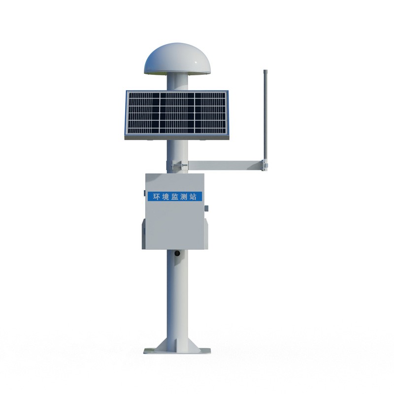
A weather monitoring system is a device and software system for measuring, recording, transmitting and analysing meteorological elements. It allows real-time monitoring of weather elements such as temperature, humidity, air pressure, wind speed, wind direction, precipitation etc. in order to monitor...
light sensors measure illumination, respond to changes in the amount of light received, detect light and convert it into electrical signals for both indoor and outdoor use....
Preface.The ultrasonic wind measurement technique uses ultrasound to detect wind speed and direction and has no moving parts compared to older anemometers, so rapid changes in wind speed, especially gusts and wind fluctuations, can be measured more accurately. This technique provides a more reliable...
Air quality sensor is a device used for real-time monitoring of air pollutant concentrations and environmental parameters. Widely applied in environmental monitoring and public health, it can detect multiple parameters such as PM2.5, PM10, carbon monoxide, sulfur dioxide, nitrogen dioxide, and ozone, helping to assess levels of harmful gases and smog, supporting data-driven decision-making and health protection measures....


 Skype
 whatsapp
 mail