Shandong Fengtu IOT Technology Co., Ltd
Sales Manager:Ms. Emily Wang
Cel,Whatsapp,Wechat:+86 15898932201
Email:info@fengtutec.com
Add:No. 155 Optoelectronic Industry Accelerator, Gaoxin District, Weifang, Shandong, China


Sales Manager:Ms. Emily Wang
Cel,Whatsapp,Wechat:+86 15898932201
Email:info@fengtutec.com
Add:No. 155 Optoelectronic Industry Accelerator, Gaoxin District, Weifang, Shandong, China
time:2026-10-23 10:19:13 source:Weather Station viewed:3 time
In dam displacement monitoring, the distance between GNSS points—defined by the baseline length—is a critical control parameter. It is recommended that the spacing between the reference station and the monitoring station be kept within 500 meters, with a maximum baseline not exceeding 2,000 meters. The system utilizes differential RTK technology to achieve millimeter-level displacement data acquisition, making it suitable for monitoring applications such as dams, landslides, and bridges.
GNSS displacement monitoring stations rely on signals from the BeiDou and GPS satellite constellations. The baseline length is a primary factor affecting measurement accuracy; excessively long baselines are more susceptible to interference from terrain and electromagnetic environments, which can degrade data accuracy and hinder the achievement of millimeter-level precision. The equipment features a choke-ring antenna combined with magnetic wave-absorbing materials to mitigate signal deviations caused by multipath effects. In static differential mode, the system achieves a horizontal accuracy of ±(2.5 mm + 1 ppm) and a vertical accuracy of ±(5 mm + 1 ppm). Powered by a 10V–15V DC supply—supported by a 30W solar panel and a 20Ah battery—the unit can operate independently and continuously in areas lacking external power, with stable power consumption, making it ideal for long-term field deployment.
When deploying monitoring points, reference and monitoring stations should be situated away from tall structures, with a minimum clearance of 20 meters from any obstructions. Ideally, the antenna should be positioned at the highest point within a 20-meter radius, and the mounting base must be securely anchored to minimize data fluctuations caused by wind. A clear line of sight between stations is preferred, and sites with similar elevations should be selected to reduce the impact of height differences on differential calculations. The equipment supports the Modbus-RTU protocol, enabling local displacement computation; it can independently output displacement values and angles, as well as trigger alarms, allowing for basic monitoring operations without reliance on a cloud platform.
Data transmission options include 4G, wireless bridges, Wi-Fi, and Ethernet. The data acquisition unit includes an RS485 interface for connecting external environmental sensors. It can output data in ASCII format locally or transmit it directly to a user-defined platform via TCP, HTTP, or UDP protocols. The supporting cloud platform enables data forwarding and 3D visualization, allowing personnel to intuitively assess the displacement direction and magnitude at specific monitoring points—facilitating long-term trend analysis. The system is simple to install and supports remote access to monitoring data. With high interface compatibility, it can be integrated into existing engineering monitoring systems to achieve data sharing and fusion, providing stable and reliable deformation monitoring data to support the safe operation and maintenance of dams.
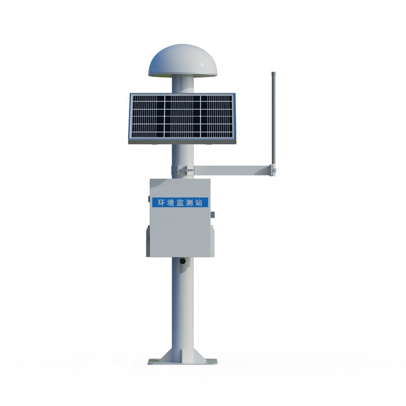
The main task of the railroad rainfall monitoring system is to obtain real-time, accurate information on precipitation near the metro. It not only provides important rainfall information for the railroad transportation department, but also has great significance for studying the natural environment...
Equipped with RS485 communication, the Radiation sensor boasts low power consumption, adaptability to a wide range of temperature environments, and accurate irradiance data collection, serving meteorological, photovoltaic, agricultural, and building energy conservation monitoring needs....
As an important part of the power system, the safe operation of the transmission line directly affects the social and economic development. Therefore, in the actual production, it is necessary to do a good job in the maintenance of the transmission line to ensure that the transmission line has good...
Crops cannot grow without the nourishment of the soil, so while exploring weather changes, it is equally crucial to have a good grasp of soil conditions. In order to achieve high quality and high yield of crops, planting must be arranged according to the characteristics and conditions of the land. S...


 Skype
 whatsapp
 mail