Shandong Fengtu IOT Technology Co., Ltd
Sales Manager:Ms. Emily Wang
Cel,Whatsapp,Wechat:+86 15898932201
Email:info@fengtutec.com
Add:No. 155 Optoelectronic Industry Accelerator, Gaoxin District, Weifang, Shandong, China


Sales Manager:Ms. Emily Wang
Cel,Whatsapp,Wechat:+86 15898932201
Email:info@fengtutec.com
Add:No. 155 Optoelectronic Industry Accelerator, Gaoxin District, Weifang, Shandong, China
time:2026-03-02 09:31:21 source:Weather Station viewed:326 time
A millimeter-level displacement monitoring product using differential RTK technology, the GNSS automated monitoring point is priced at 9800 yuan. It is specifically designed for dam and slope displacement and settlement monitoring and disaster early warning, and can accurately monitor minute displacement changes of targets in complex environments.
The GNSS automated monitoring point is a millimeter-level displacement monitoring product using differential RTK technology, with a market reference price of 9800 yuan per set. This equipment is specifically designed for dam safety monitoring, slope displacement and settlement monitoring, and disaster early warning and prevention, and can accurately monitor minute displacement changes of targets in various complex environments. The GNSS automated monitoring point mainly consists of a GNSS antenna, data acquisition unit, power supply system, and communication module, adopting an integrated structural design, making installation and disassembly relatively simple.
GNSS automated monitoring points can be widely used in engineering fields such as dam safety monitoring, bridge health monitoring, and landslide early warning. In dam monitoring applications, the equipment can capture real-time horizontal displacement and vertical settlement changes of the dam body, providing data support for the safe operation of reservoirs. In slope monitoring scenarios, GNSS automated monitoring points can monitor landslide stability in real time, track changes in the displacement of collapsed rock masses, and monitor ground subsidence and collapse areas. This equipment can also be used in mining safety to monitor the stability of open-pit mine slopes and the displacement of tailings dam bodies.
The installation of GNSS automated monitoring points must meet specific technical requirements to ensure measurement accuracy. The baseline distance between the base station and the measuring station is recommended to be less than 500 meters, and should not exceed 2 kilometers. They should ideally be installed at the same altitude. There should be no tall buildings around the monitoring point; if this is unavoidable, they should be at least 20 meters away. The base station and the measuring station should be as visually accessible as possible, avoiding obstructions such as high walls or buildings. The monitoring antenna must be positioned at its highest point within a 20-meter radius, and the mounting base should be secure to prevent accuracy degradation due to wind.
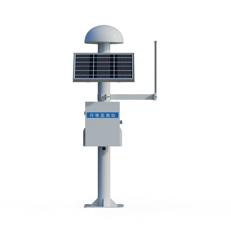
A wind speed and direction sensor is a device used to measure and record wind speed and direction information, which is widely used in meteorology, aviation, marine, agriculture and other fields. In these fields, accurate wind speed and direction information is of great significance for forecasting...
The water regime monitoring system is applied to the water conservancy management department to remotely monitor the water level and rainfall of the reservoir and collect real-time data, and provide accurate, timely and automatic on-site monitoring information to ensure the safe operation and manage...
Micrometeorology refers to small-scale climatic features in the near-surface atmosphere and soil that are triggered by specific configurations of the subsurface. These features are usually reflected in individual meteorological values or individual weather phenomena (e.g. wind, rain, fog, frost, etc...
A good atmospheric visibility meter should be able to provide accurate measurement data and stable operation even under adverse weather conditions. It should be robust, easy to install and maintain, and have an intuitive user interface that makes it easy for users to read and analyse data. In additi...


 Skype
Skype
 whatsapp
 mail
mail