Shandong Fengtu IOT Technology Co., Ltd
Sales Manager:Ms. Emily Wang
Cel,Whatsapp,Wechat:+86 15898932201
Email:info@fengtutec.com
Add:No. 155 Optoelectronic Industry Accelerator, Gaoxin District, Weifang, Shandong, China


Sales Manager:Ms. Emily Wang
Cel,Whatsapp,Wechat:+86 15898932201
Email:info@fengtutec.com
Add:No. 155 Optoelectronic Industry Accelerator, Gaoxin District, Weifang, Shandong, China
time:2023-02-23 17:30:57 source:Weather Station viewed:973 time
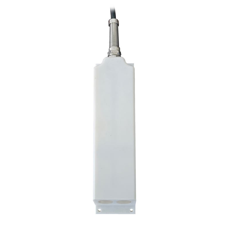
Water level meter is a product launched by Windway Technology, model FT-SW1, which can measure water level data of waters in real time, including rivers, lakes, reservoirs, dams and other areas. It uses a radar water level sensor that measures water level information in a non-contact manner using K-band planar radar technology. Also because of this, its avoids the influence of temperature, sediment, river pollutants, water surface floating matter and other factors on the accuracy.
Technical parameters.
Distance measurement range: 0-30m
Distance measurement accuracy: ±1cm
Distance measurement resolution: 1mm
Interval time: 1-5000min
FT-SW1 water level measurement instrument is actually a complete system made of hardware + software combination, which uses the radar water level sensor, communication equipment, riser bracket, collector and other hardware and CS architecture cloud platform, the protection level reached IP68, the signal output is RS485/MODBUS protocol.
It is powered by solar energy, and Windway is equipped with a solar panel and a battery with solar power of 10W/30W (optional), DC3.7V 10Ah battery, 4m high pole stand and 3m high cross-arm stand.
The cloud platform is a data management system developed by Windway Technology, which can be browsed directly by cell phone or PC without installing software. The data collected by the host will be sent to the cloud platform automatically, and users only need to log in to the cloud platform to view and download the data. The platform supports multi-account and multi-device login, also can set SMS alarm function, the platform can also display map location, equipment information, support data curve analysis, support data forwarding, HJ-212 protocol, TCP forwarding, http protocol, etc., support external running javascript script.

In the soil and water loss monitoring of runoff fields and small watersheds, traditional manual measurement of flow and sediment data suffers from huge workload, low efficiency, high labor costs, and large data errors. After years of technological research and a large number of field tests, the Soil...
The health of the soil is critical for food security, ecological civilisation and many other aspects. Soil and water conservation and healthy soil moisture in agricultural land are important foundations for ensuring good crop yields and productivity. Only healthy soil can provide sufficient nutrient...
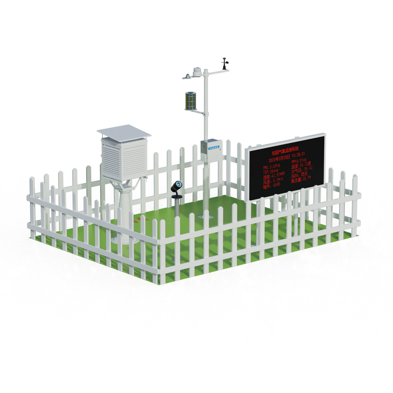
Atmospheric monitoring stations and Air quality monitoring stations are two different facilities in the field of environmental monitoring, each undertaking different monitoring tasks and functions. Atmospheric monitoring stations mainly undertake national-level environmental monitoring tasks. They a...
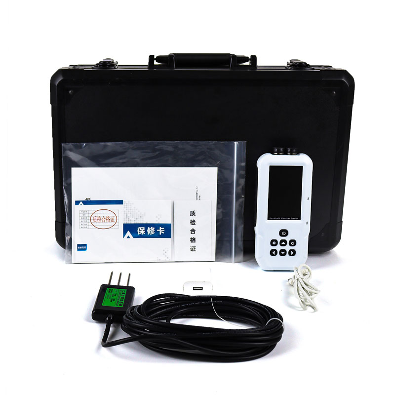
Agricultural productivity is closely linked to meteorological conditions, making the monitoring of climatic conditions on farmland particularly critical. However, although full-featured agro-meteorological monitoring stations can provide comprehensive monitoring data, they are often inconvenient in...


 Skype
Skype
 whatsapp
 mail
mail