Shandong Fengtu IOT Technology Co., Ltd
Sales Manager:Ms. Emily Wang
Cel,Whatsapp,Wechat:+86 15898932201
Email:info@fengtutec.com
Add:No. 155 Optoelectronic Industry Accelerator, Gaoxin District, Weifang, Shandong, China


Sales Manager:Ms. Emily Wang
Cel,Whatsapp,Wechat:+86 15898932201
Email:info@fengtutec.com
Add:No. 155 Optoelectronic Industry Accelerator, Gaoxin District, Weifang, Shandong, China
time:2025-01-06 10:05:22 source:Weather Station viewed:742 time
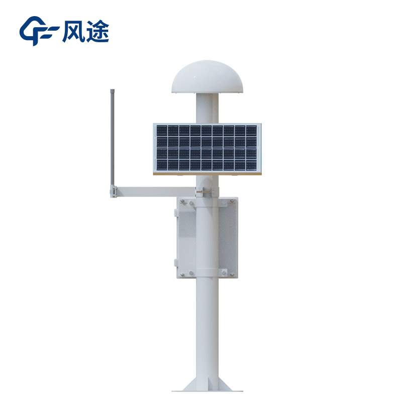
The GNSS monitoring station determines the three-dimensional spatial position (longitude, latitude and elevation) of the monitoring point based on the satellite signals of the Beidou Satellite Navigation System (BDS) and the Global Navigation Satellite System (GNSS). By receiving the signals transmitted by multiple satellites and utilizing information such as the signal propagation time difference, it calculates its own position using methods like spatial resection.
Its positioning accuracy can reach centimeter-level or even millimeter-level, enabling precise location determination of objects. For example, in some high-precision mapping scenarios, it can be used to draw maps and define land boundaries. Compared with traditional measurement methods, it significantly improves efficiency and accuracy.
The GNSS monitoring station is mainly used for deformation monitoring. For instance, in slope stability scenarios such as mines, mountains and building foundation pits, the GNSS monitoring station can monitor the displacement of each point on the slope surface in real time. Once the slope undergoes tiny displacements due to factors such as geological activities, rain erosion or human excavation, the monitor can quickly sense and record the data. For example, when a GNSS monitoring station is installed on the slope of a highway in the mountainous area, during heavy rain or earthquake activities, it can promptly detect whether there is a sliding tendency on the slope, providing a basis for taking reinforcement measures or implementing traffic control.
In addition, for large buildings such as high-rise buildings and bridges, it can monitor the settlement during the construction and use processes. By installing monitors at key parts of the building and continuously monitoring the elevation changes, if uneven settlement occurs, timely warnings can be issued to avoid safety accidents such as cracks or even collapses in the building structure.
what is a rain gauge used for What is a rain gauge used for collecting and measuring liquid precipitation in a predetermined area....
What is the difference between ultrasonic level meter and radar level meter? Many people are puzzled by this, today I will explain the difference between the two.Ultrasonic level meter mainly through ultrasonic waves to determine the height of the liquid medium position, and radar level meter throug...
In industry, liquid level measurement of corrosive media is a critical process, and Corrosive liquid level sensors, such as the YW - 26B, are the primary application instruments. Below is a detailed explanation of the working principle and usage method of such level gauges.The YW - 26B Corrosive liq...
Grid monitoring has achieved remarkable results in controlling air pollution. It can accurately locate pollution sources. By constructing a dense monitoring network in different areas, such as dividing ordinary grids in cities, setting encrypted grids in key areas, and arranging irregular grids in s...


 Skype
Skype
 whatsapp
 mail
mail