Shandong Fengtu IOT Technology Co., Ltd
Sales Manager:Ms. Emily Wang
Cel,Whatsapp,Wechat:+86 15898932201
Email:info@fengtutec.com
Add:No. 155 Optoelectronic Industry Accelerator, Gaoxin District, Weifang, Shandong, China


Sales Manager:Ms. Emily Wang
Cel,Whatsapp,Wechat:+86 15898932201
Email:info@fengtutec.com
Add:No. 155 Optoelectronic Industry Accelerator, Gaoxin District, Weifang, Shandong, China
time:2026-04-03 10:19:28 source:Weather Station viewed:270 time
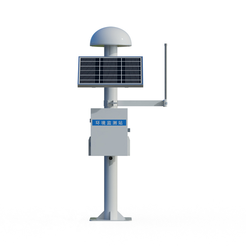
Dam settlement monitoring utilizes differential RTK technology to achieve millimeter-level displacement measurement. GNSS displacement stations can monitor dam settlement and displacement changes in real time, providing data support and early warning for the safe operation of water conservancy projects.
During long-term operation, dams are affected by various factors such as water pressure, changes in geological conditions, and temperature fluctuations, resulting in settlement and displacement phenomena. If not detected and addressed promptly, this can lead to serious consequences such as seepage, landslides, or even dam failure. Therefore, continuous settlement monitoring of dams is a crucial measure to ensure the safety of water conservancy projects.
Dam settlement monitoring, leveraging advanced sensor technology, can accurately measure the settlement and displacement changes at different parts of the dam. GNSS displacement stations, using differential RTK technology, are millimeter-level displacement monitoring products that can be widely used in engineering fields such as dam safety monitoring, bridge health monitoring, and landslide early warning. These devices possess high precision, high stability, and real-time data transmission capabilities, enabling accurate monitoring of minute displacement changes in targets under various complex environments.
Currently, mainstream GNSS displacement monitoring products on the market are quite mature in terms of technical parameters. Taking static accuracy as an example, horizontal accuracy can reach ±(2.5mm+1ppm), and vertical accuracy can reach ±(5mm+1ppm). The dual-system fusion scheme, through BeiDou and GPS dual-system calculation, can achieve a monitoring accuracy of 0.8mm horizontally and 2.0mm vertically, detecting subtle deformations 12 days earlier than a single system. These monitoring devices can achieve 24-hour uninterrupted data acquisition and transmit data to the monitoring center in real time via wireless communication technology.
In practical engineering applications, dam settlement monitoring systems integrate multiple sensor technologies, enabling real-time continuous monitoring of surface displacement. They are widely used for monitoring geological hazards such as landslides and ground subsidence, as well as for safety monitoring of large-scale projects such as dams and bridges. In terms of installation, GNSS displacement stations are simple to operate and easy to install, allowing for remote monitoring and data analysis, providing strong protection for project safety. Their powerful data processing capabilities and compatibility enable the product to easily integrate into various monitoring systems, achieving data sharing and fusion.
The dam settlement monitoring system also integrates IoT and big data analytics. Through intelligent sensing modules, it automatically collects data on displacement and settlement, transmitting this information in real-time to a cloud-based monitoring and management platform via IoT communication modules. Once settlement or displacement exceeds a safety threshold, the system immediately issues an early warning, notifying relevant personnel to take appropriate measures. Long-term analysis of historical monitoring data can also predict future settlement and displacement trends of the dam, providing a scientific basis for its maintenance, reinforcement, and renovation. This systematic monitoring approach ensures the dam can continuously and stably perform its comprehensive benefits in flood control, power generation, and irrigation, providing a solid guarantee for the safe operation of water conservancy projects.
Buoy-type automatic water quality monitoring station, is a water quality monitor as the center, the use of sensor technology will be the buoy body, power supply system and data transmission equipment combined and constitute a small water quality monitoring system placed in the water.Buoy intelligent...
Every year, before the spring ploughing and during the autumn harvest, the agriculture department monitors the soil moisture level and advises farmers on suitable farming practices. This is because moisture is important for crop growth. Monitoring moisture can help farmers to time their irrigation,...
Weather forecasts provide timely information on the weather in the coming days. In the case of typhoon and rainstorm forecasts, precautions need to be taken in advance, and as modern agriculture continues to develop, the agro-meteorological environment is increasingly being taken into account. Espec...
3D Anemometer utilizes ultrasonic technology to measure gas flow velocity, offering a wind speed measurement range of 0–70 m/s with an accuracy of ±3%. Its wind direction range spans 0–360° with an accuracy of ±2°. Constructed from stainless steel, the device is ideally suited for deploy...


 Skype
Skype
 whatsapp
 mail
mail