Shandong Fengtu IOT Technology Co., Ltd
Sales Manager:Ms. Emily Wang
Cel,Whatsapp,Wechat:+86 15898932201
Email:info@fengtutec.com
Add:No. 155 Optoelectronic Industry Accelerator, Gaoxin District, Weifang, Shandong, China


Sales Manager:Ms. Emily Wang
Cel,Whatsapp,Wechat:+86 15898932201
Email:info@fengtutec.com
Add:No. 155 Optoelectronic Industry Accelerator, Gaoxin District, Weifang, Shandong, China
time:2023-01-30 21:47:19 source:Weather Station viewed:1153 time
As an important part of the ecosystem, wetlands play a pivotal role in maintaining biodiversity and providing human health. As global climate change and water scarcity become more and more prominent, people are increasingly concerned about the impact of protecting and utilizing natural resources on socio-economic development. Wetlands have the functions of water conservation, flood and drought prevention, air purification, microclimate regulation and flood water storage, as well as rich wildlife resources and unique biological landscapes. However, due to population growth, accelerated urbanization and industrial pollution, environmental damage and other factors, many of China's wetlands have been seriously disturbed and threatened. Wetland degradation has become a major problem facing the world today.
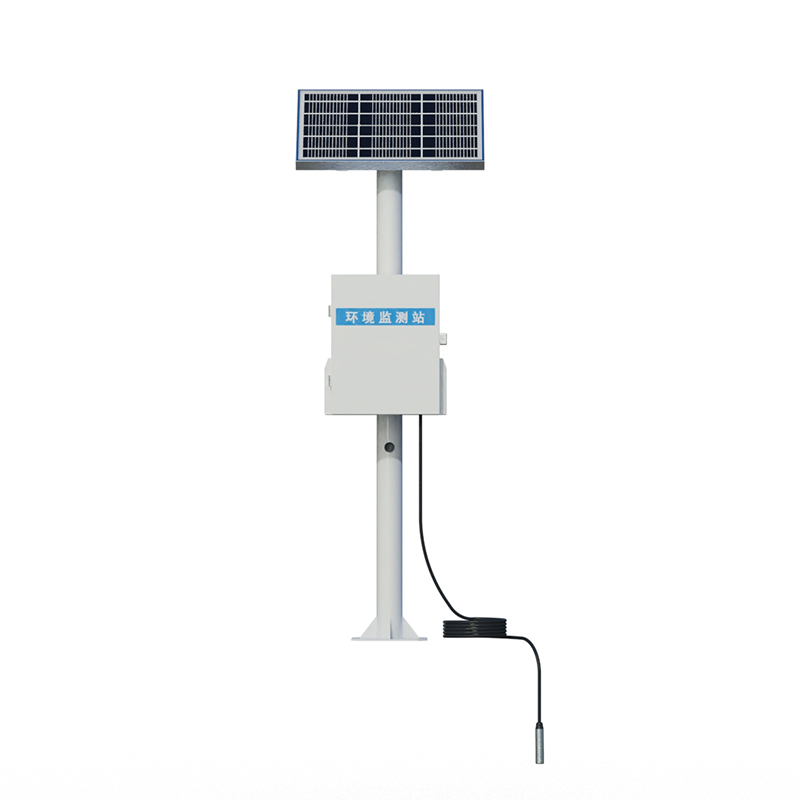
Wetland monitoring is one of the main tools to evaluate and protect wetlands, which directly reflects the basic condition of wetlands and can be scientifically and reasonably managed and developed according to the actual situation. Wetland monitoring includes both meteorological monitoring and remote sensing monitoring. Meteorological monitoring is to obtain parameters such as temperature, salinity and precipitation in the wetland surface soil through detection methods such as meteorological stations.
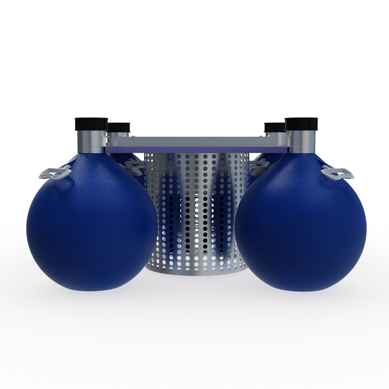
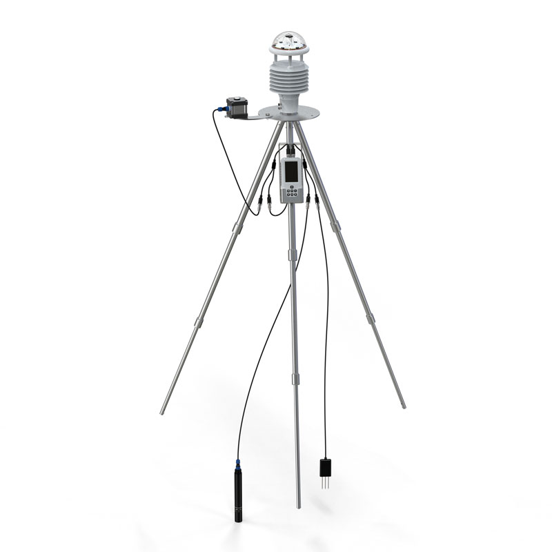
Wetland meteorological stations include a monitoring terminal and a software platform, which collects all meteorological information. It mainly includes air temperature, relative humidity, wind speed, wind direction, rainfall, radiation, PH, dissolved oxygen, turbidity, blue-green algae, ammonia nitrogen, water level, flow rate, soil water content, soil temperature, soil salinity, PM10, PM2.5, etc.
Comprehensive monitoring of meteorology, hydrology and water quality, soil, air quality, etc.

level sensor for water is a device that measures the level of water in a fixed container that is too high or too low, and is used to detect the level of water in a tank, pond, river, or any other body of water....
What does rain gauge Do is a meteorological instrument used to measure the amount of precipitation in a specific area over a specific time period, specifically rainfall....
What does a rain gauge do is a meteorological instrument that measures the amount of precipitation per unit area at a given time and is able to record the change in rainfall over time, usually expressed in millimeters....
Highway meteorological services are very important, and the factors affecting traffic safety are not only man-made, but also weather-related. Therefore, it is very necessary to strengthen the weather observation on the highway, especially in the case of bad weather, pay special attention to the chan...


 Skype
Skype
 whatsapp
 mail
mail