Shandong Fengtu IOT Technology Co., Ltd
Sales Manager:Ms. Emily Wang
Cel,Whatsapp,Wechat:+86 15898932201
Email:info@fengtutec.com
Add:No. 155 Optoelectronic Industry Accelerator, Gaoxin District, Weifang, Shandong, China


Sales Manager:Ms. Emily Wang
Cel,Whatsapp,Wechat:+86 15898932201
Email:info@fengtutec.com
Add:No. 155 Optoelectronic Industry Accelerator, Gaoxin District, Weifang, Shandong, China
time:2026-03-27 10:08:51 source:Weather Station viewed:281 time
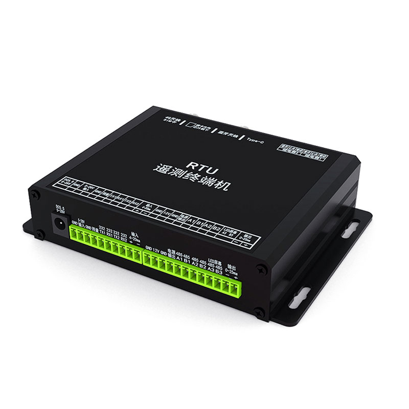
Remote Terminal Unit is a microprocessor-controlled embedded device designed for remote monitoring in fields such as meteorology, hydrology, and geology. It features capabilities for data acquisition, transmission, storage, and remote control, making it suitable for unattended scenarios such as flash flood warning systems and reservoir monitoring.
Remote Terminal Unit is an electronic device centered around a microprocessor, primarily utilized for remote data monitoring and transmission in meteorological, hydrological, and geological applications. The device connects to a central monitoring station—either directly or via a Distributed Control System (DCS) or SCADA system—to form a comprehensive remote monitoring network. The core functions of the RTU include data acquisition, transmission, storage, and remote control, enabling it to operate continuously in unattended environments.
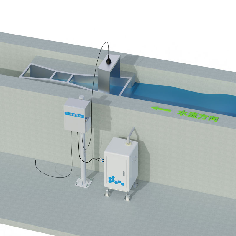
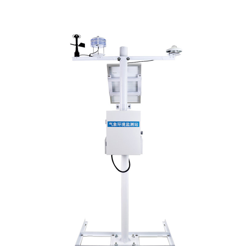
Regarding data acquisition, the RTU can interface with a wide variety of sensors to integrate monitoring functions for water levels, rainfall, meteorological conditions, pest activity, and soil moisture. Depending on the specific application scenario, the device is categorized into several types: Hydrology and Water Resources, Groundwater, Meteorological Station, and Geological Monitoring Station. The Hydrology and Water Resources RTU is typically deployed to monitor water levels and flow rates in rivers and reservoirs; when paired with rainfall sensors, it enables real-time response to heavy rainfall events. The Groundwater RTU is suited for long-term observation of groundwater levels and quality, with data acquisition intervals that can be flexibly configured according to specific requirements. The Meteorological Station RTU works in conjunction with sensors for wind speed and direction, temperature and humidity, atmospheric pressure, and rainfall to establish an automated weather station. Finally, the Geological Monitoring Station RTU is utilized in scenarios such as slope displacement monitoring and debris flow early warning systems, integrating sensors for tilt, vibration, and displacement to conduct surveillance.
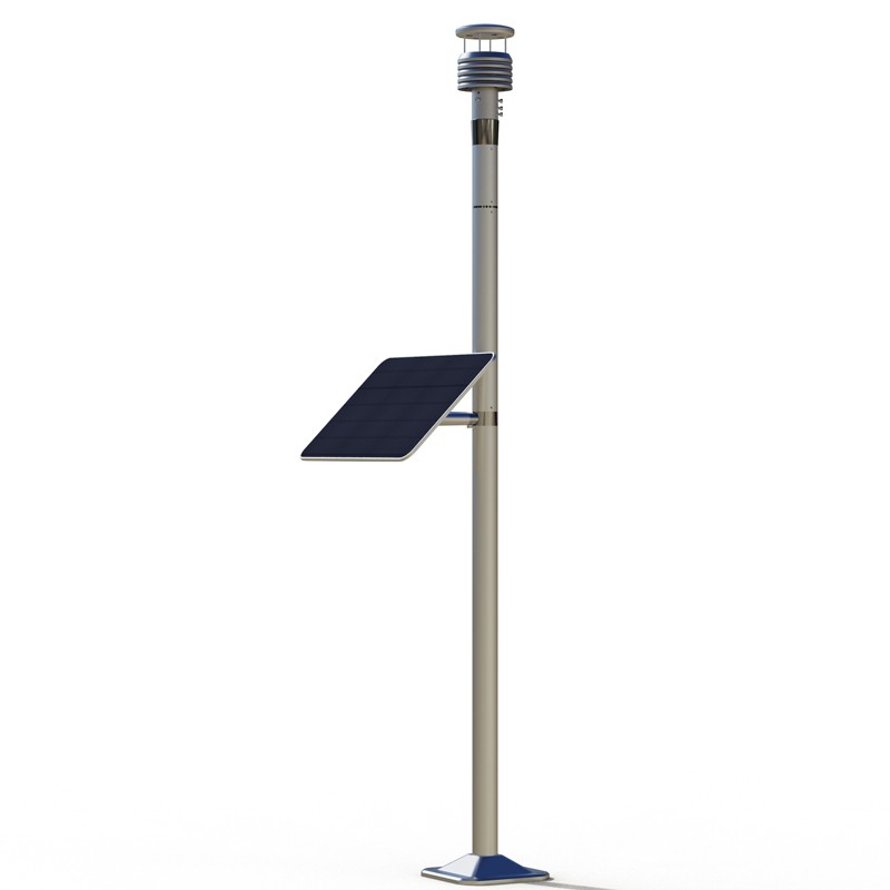
In terms of data transmission, the RTU supports multiple communication protocols—including 4G, 5G, NB-IoT, and BeiDou satellite communication—allowing for the selection of primary and backup channels based on local network conditions to ensure data transmission stability. The device features a built-in storage module that automatically saves acquired data in the event of a communication outage; once communication is restored, the stored data is automatically uploaded to prevent any data loss. Furthermore, the remote control functionality enables the central station to perform operations such as parameter configuration, adjustment of acquisition frequencies, and device restarts, thereby significantly reducing the workload associated with on-site maintenance. The Remote Terminal Unit demonstrates high reliability in unattended scenarios. Featuring a low-power design, it supports solar power supply with battery backup, enabling long-term operation in environments lacking access to mains electricity. The complete unit typically possesses characteristics such as water resistance, dust resistance, and tolerance to extreme temperatures, thereby meeting the operational requirements of harsh outdoor environments. In practical applications, RTUs are widely deployed in projects involving flash flood early warning systems, monitoring of small-to-medium-sized reservoirs, irrigation district digitalization, geological hazard monitoring, and ecological environment monitoring. Acting as the core device for front-end data acquisition and transmission, they provide essential data support for remote monitoring and dispatch operations.
Currently, the development of ice sensing technology is quite mature, with dozens of detection principles and methods available. According to differences in principles, ice sensors can be categorized into optical, electrical, mechanical, thermal, waveguide, and other types. Among them, the electrica...
Three Advantages of Air Quality Monitoring Station1. High FlexibilityThe Air Quality Monitoring Station is small in size and light in weight, allowing it to be flexibly deployed at various locations according to actual needs. It can be set up in different urban neighborhoods, industrial parks, schoo...
Mining operations are like a double-edged sword: while fueling economic growth, they leave behind environmental challenges, with slope instability and soil erosion being the most pressing. Mountain landslides are no trivial matter—accidents such as equipment burial and worker entrapment occur frequ...
The operation of highways is significantly affected by meteorological conditions, and inclement weather such as fog, snowstorms, typhoons and heavy rains can pose a greater threat to driving safety. Under these conditions, the passage of highways may be obstructed or even closed, seriously affecting...


 Skype
Skype
 whatsapp
 mail
mail