Shandong Fengtu IOT Technology Co., Ltd
Sales Manager:Ms. Emily Wang
Cel,Whatsapp,Wechat:+86 15898932201
Email:info@fengtutec.com
Add:No. 155 Optoelectronic Industry Accelerator, Gaoxin District, Weifang, Shandong, China


Sales Manager:Ms. Emily Wang
Cel,Whatsapp,Wechat:+86 15898932201
Email:info@fengtutec.com
Add:No. 155 Optoelectronic Industry Accelerator, Gaoxin District, Weifang, Shandong, China
time:2025-12-02 09:30:06 source:Weather Station viewed:494 time
Integrated radar water level gauge system utilizes a Frequency Modulated Continuous Wave (FMCW) radar system to achieve non-contact, high-precision measurement of water and sediment levels. The device features ultra-low power consumption, a compact structure, and strong anti-interference capabilities, making it suitable for water level monitoring in complex environments such as rivers, lakes, flood warning systems, reservoirs, and sewage networks.
Integrated radar water level gauge is a specialized monitoring device designed specifically for water and sediment level measurement. It employs FMCW radar technology, precisely calculating the distance between the sensor and the water or sediment surface by analyzing the frequency difference between the transmitted and reflected signals. The non-contact measurement process avoids the drawbacks of traditional contact sensors, such as corrosion and sedimentation.
The core advantages of the device lie in its high precision and low power consumption. The FMCW radar system continuously transmits frequency-modulated microwave signals and receives the reflected echoes from the water surface. The direct proportionality between the frequency difference and distance allows for direct calculation of the water level. This method effectively overcomes the blind zone problem of pulse radar in short-range measurements, achieving millimeter to centimeter level accuracy. Furthermore, the device utilizes optimized signal processing circuits and power management design, enabling stable operation in unattended outdoor monitoring stations for extended periods, significantly reducing energy dependence and maintenance frequency.
In terms of structural design, the radar water level gauge adopts an integrated, compact package. The radar antenna, signal processing unit, and power module are highly integrated, resulting in a small size that facilitates installation and debugging. The non-contact installation method allows it to be directly fixed to bridges, pillars, or cantilevers, eliminating the need for constructing measuring wells or contact with the water body, reducing civil engineering costs and minimizing interference with water flow. The housing is typically corrosion-resistant, dustproof, and waterproof, capable of withstanding harsh outdoor environments.
In complex environments, the device's anti-interference capability is particularly important. The FMCW radar, through narrowband frequency modulation and digital filtering technology, effectively suppresses interference from rain, fog, waves, suspended solids, and electromagnetic noise. For water bodies with high sediment content or sediment surfaces, the device can distinguish between clear water level and bottom sediment level through echo intensity and spectral characteristics, providing data support for sedimentation monitoring.
This water level gauge is widely used in various hydrological monitoring scenarios. In lakes, rivers, and reservoirs, it is used for long-term water level monitoring and flood warning; in areas prone to flash floods, it can achieve real-time monitoring of rapid water level rises and trigger alarms promptly; in urban drainage and sewage pipe networks, it can monitor liquid level changes in manholes and pipes, assisting in scheduling and flood control; and in agricultural irrigation and industrial reservoirs, it can also be used for precise control of water storage.
During actual deployment, the installation height and angle should be selected based on the environmental characteristics of the monitoring point to avoid obstruction of the radar beam by obstacles. The device typically supports 4G, LoRa, or wired communication methods, allowing real-time data to be uploaded to the monitoring platform and is compatible with various industry protocols, facilitating integration into existing hydrological monitoring or smart water management systems. Through continuous and accurate water level and sediment level data acquisition, Integrated radar water level gauge provides reliable technical means for water resource management, disaster prevention, and infrastructure operation and maintenance.
meaning of rain gauge is a device for measuring rainfall, a meteorological instrument for measuring the amount of precipitation per unit area in a given time....
The rainfall monitoring station is small in size, easy to install and maintain, and inexpensive. It is very suitable for mountain flood early warning, hydrological forecasting and other work. It realizes real-time collection, remote transmission and online monitoring of rainfall data through hardwar...
The Continuously Operating Reference Station Network (CORS), as a crucial support for modern positioning services, consists of core elements such as continuously operating reference stations, a data center, and a data communication network, forming an organic whole.The continuously operating referen...
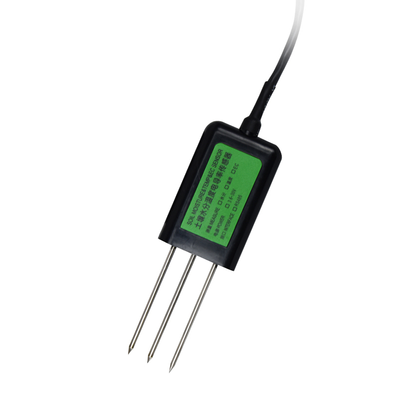
Every year, before the spring ploughing and during the autumn harvest, the agriculture department monitors the soil moisture level and advises farmers on suitable farming practices. This is because moisture is important for crop growth. Monitoring moisture can help farmers to time their irrigation,...


 Skype
Skype
 whatsapp
 mail
mail